


3.9 km | 4.4 km-effort
District of Pezinok: Discover the best trails: 4 on foot. All these trails, routes and outdoor activities are available in our SityTrail applications for smartphones and tablets.
On foot


• Oficiálne stránky mesta Pezinok a MsÚ Pezinok Website: https://www.pezinok.sk/?yggid=247
On foot
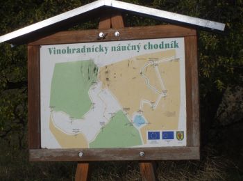
• Symbol: education
On foot
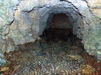
• Trail created by Malokarpatský banícky spolok. Symbol: education
On foot
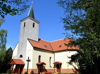
• Symbol: education Website: http://www.horneoresany.sk/naucny-chodnik/
4 trails displayed on 4
FREE GPS app for hiking
 SityTrail
IGN / Geographical institutes
SityTrail World
The world is yours!