


8.9 km | 11.2 km-effort
Área Metropolitana de Lisboa: Discover the best trails: 19 on foot, 26 walking and 1 trail. All these trails, routes and outdoor activities are available in our SityTrail applications for smartphones and tablets.
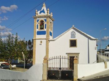
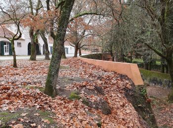
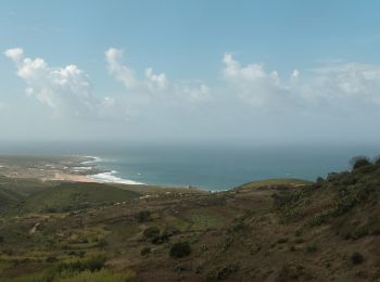
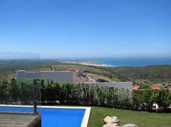
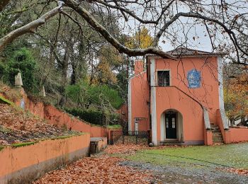
On foot


• Trail created by Município de Mafra. Symbol: Yellow over Read
On foot
• Informações e serviços da Cidade Website: http://www.cm-lisboa.pt/equipamentos/equipamento/info/centro-de-interpreta...
On foot
• Informações e serviços da Cidade Website: http://www.cm-lisboa.pt/equipamentos/equipamento/info/centro-de-interpreta...
On foot
• Informações e serviços da Cidade Website: http://www.cm-lisboa.pt/equipamentos/equipamento/info/centro-de-interpreta...
On foot
• Informações e serviços da Cidade Website: http://www.cm-lisboa.pt/equipamentos/equipamento/info/centro-de-interpreta...
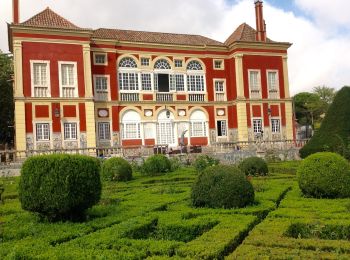
On foot
• Conheça a estrutura ecológica e biodiversidade, e as respostas da cidade aos novos desafios ambientais. Informação so...
On foot
• Trail created by ICNF. Symbol: Yellow over Red
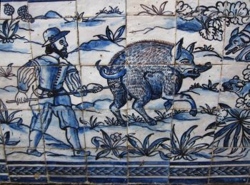
On foot
• Trail created by Tapada Nacional de Mafra. Symbol: Yellow Slash
On foot
• Trail created by Tapada Nacional de Mafra. Symbol: Green Slash
On foot
• Trail created by ICNF. Symbol: Yellow over Red
On foot
• Trail created by ICNF.
On foot
• Trail created by Tapada Nacional de Mafra. Symbol: Red Slash
On foot
• Trail created by ICNF.
On foot
• Trail created by ICNF.
On foot
• Trail created by Tapada Nacional de Mafra. Symbol: Blue Slash

On foot
• Trail created by ICNF.
On foot
• Trail created by ICNF.

Walking
Walking
Walking
20 trails displayed on 46
FREE GPS app for hiking
 SityTrail
IGN / Geographical institutes
SityTrail World
The world is yours!