![](/images/other/stat-length.png)
- Trails
- On foot
- Poland
- Lower Silesian Voivodeship
- Złotoryja County
Złotoryja County, Lower Silesian Voivodeship, On foot: Best trails, routes and walks
Złotoryja County: Discover the best trails: 5 on foot. All these trails, routes and outdoor activities are available in our SityTrail applications for smartphones and tablets.
The best trails (5)
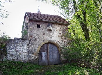
![Trail On foot Gozdno - niebieski - Photo](https://media.geolcdn.com/t/350/260/374e631f-ef97-4807-b56c-29c79e9887bd.jpeg&format=jpg&maxdim=2)
![On foot On foot](https://static1.geolcdn.com/sitytour/trail-icons/100.png)
Km
#1 - niebieski
On foot
Easy
Gozdno,
Lower Silesian Voivodeship,
Złotoryja County,
Poland
![](/images/other/stat-length.png)
4.3 km | 5.1 km-effort
1h 9min
![](https://static1.geolcdn.com/siteimages/upload/files/1508320355ic_sort_den_pos_24dp.png)
21 m
![](https://static1.geolcdn.com/siteimages/upload/files/1508320355ic_sort_den_neg_24dp.png)
190 m
![](https://static1.geolcdn.com/siteimages/upload/files/16400158638029165_repeat_loop_refresh_sync_direction_icon.png)
No
SityTrail - itinéraires balisés pédestres
• Symbol: blue bar
![Trail On foot Wilków - zielony - Photo](https://media.geolcdn.com/t/350/260/1d296cfb-9ed8-4ffb-a9a2-cd2405ac0a4c.jpeg&format=jpg&maxdim=2)
![On foot On foot](https://static1.geolcdn.com/sitytour/trail-icons/100.png)
Km
#2 - zielony
On foot
Easy
Wilków,
Lower Silesian Voivodeship,
Złotoryja County,
Poland
![](/images/other/stat-length.png)
6.5 km | 8.1 km-effort
1h 50min
![](https://static1.geolcdn.com/siteimages/upload/files/1508320355ic_sort_den_pos_24dp.png)
111 m
![](https://static1.geolcdn.com/siteimages/upload/files/1508320355ic_sort_den_neg_24dp.png)
136 m
![](https://static1.geolcdn.com/siteimages/upload/files/16400158638029165_repeat_loop_refresh_sync_direction_icon.png)
No
SityTrail - itinéraires balisés pédestres
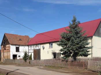
![Trail On foot Wilków-Osiedle - czarny - Photo](https://media.geolcdn.com/t/350/260/e1debe5c-0d2f-4ec8-a677-b4e8bc7dc77e.jpeg&format=jpg&maxdim=2)
![On foot On foot](https://static1.geolcdn.com/sitytour/trail-icons/100.png)
Km
#3 - czarny
On foot
Easy
Wilków-Osiedle,
Lower Silesian Voivodeship,
Złotoryja County,
Poland
![](/images/other/stat-length.png)
5.7 km | 7.3 km-effort
1h 39min
![](https://static1.geolcdn.com/siteimages/upload/files/1508320355ic_sort_den_pos_24dp.png)
117 m
![](https://static1.geolcdn.com/siteimages/upload/files/1508320355ic_sort_den_neg_24dp.png)
143 m
![](https://static1.geolcdn.com/siteimages/upload/files/16400158638029165_repeat_loop_refresh_sync_direction_icon.png)
No
SityTrail - itinéraires balisés pédestres
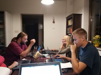
![Trail On foot - ścieżka dydaktyczna](https://media.geolcdn.com/t/350/260/9970384e-bcec-425a-9f1e-67a0ca9e3378.jpeg&format=jpg&maxdim=2)
![On foot On foot](https://static1.geolcdn.com/sitytour/trail-icons/100.png)
Km
#4 - ścieżka dydaktyczna "Gruszka" - trasa 3
On foot
Easy
,
Lower Silesian Voivodeship,
Złotoryja County,
Poland
![](/images/other/stat-length.png)
3.8 km | 6.1 km-effort
1h 22min
![](https://static1.geolcdn.com/siteimages/upload/files/1508320355ic_sort_den_pos_24dp.png)
196 m
![](https://static1.geolcdn.com/siteimages/upload/files/1508320355ic_sort_den_neg_24dp.png)
104 m
![](https://static1.geolcdn.com/siteimages/upload/files/16400158638029165_repeat_loop_refresh_sync_direction_icon.png)
No
SityTrail - itinéraires balisés pédestres
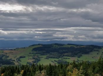
![Trail On foot Świerzawa - (yellow) - Photo](https://media.geolcdn.com/t/350/260/6e2e0184-1586-486c-983e-3a0fbc42bdae.jpeg&format=jpg&maxdim=2)
![On foot On foot](https://static1.geolcdn.com/sitytour/trail-icons/100.png)
Km
#5 - (yellow)
On foot
Easy
Świerzawa,
Lower Silesian Voivodeship,
Złotoryja County,
Poland
![](/images/other/stat-length.png)
8.9 km | 13.6 km-effort
3h 5min
![](https://static1.geolcdn.com/siteimages/upload/files/1508320355ic_sort_den_pos_24dp.png)
463 m
![](https://static1.geolcdn.com/siteimages/upload/files/1508320355ic_sort_den_neg_24dp.png)
16 m
![](https://static1.geolcdn.com/siteimages/upload/files/16400158638029165_repeat_loop_refresh_sync_direction_icon.png)
No
SityTrail - itinéraires balisés pédestres
5 trails displayed on 5
FREE GPS app for hiking