Wrocław County, Lower Silesian Voivodeship, On foot: Best trails, routes and walks

Wrocław County: Discover the best trails: 5 on foot. All these trails, routes and outdoor activities are available in our SityTrail applications for smartphones and tablets.


The best trails (5)
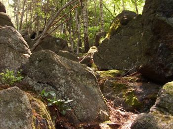
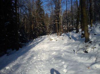
Trail On foot Sobótka - Szlak archeologiczny - Photo
On foot 6.414
Km
GUIDE+

On foot

Easy
Sobótka, Lower Silesian Voivodeship, Wrocław County, Poland
6.4 km | 11.5 km-effort
2h 36min
440 m
209 m
No
SityTrail - itinéraires balisés pédestres

• Symbol: czarny miś na białym tle

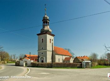
Trail On foot Sobótka - Zielony Strzelce - Ząbkowice Śl. - Photo
On foot 44.016
Km
GUIDE+

On foot

Very difficult
Sobótka, Lower Silesian Voivodeship, Wrocław County, Poland
44 km | 56 km-effort
12h 45min
901 m
938 m
No
SityTrail - itinéraires balisés pédestres

• Symbol: green

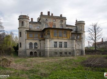
Trail On foot Sobótka - Strzeblów - Jordanów Śląski - Photo
On foot 24.838
Km
GUIDE+

On foot

Difficult
Sobótka, Lower Silesian Voivodeship, Wrocław County, Poland
25 km | 37 km-effort
8h 18min
876 m
884 m
No
SityTrail - itinéraires balisés pédestres

• Symbol: blue

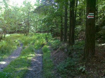
Trail On foot Jordanów Śląski - Jordanów Śląski - Starzec - Photo
On foot 31.603
Km
GUIDE+

On foot

Difficult
Jordanów Śląski, Lower Silesian Voivodeship, Wrocław County, Poland
32 km | 37 km-effort
8h 30min
463 m
371 m
No
SityTrail - itinéraires balisés pédestres

Trail On foot Sobótka - Łagiewniki-Sobótka - Photo
On foot 11.025
Km
GUIDE+

On foot

Easy
Sobótka, Lower Silesian Voivodeship, Wrocław County, Poland
11 km | 14.1 km-effort
3h 12min
106 m
617 m
No
SityTrail - itinéraires balisés pédestres

5 trails displayed on 5

FREE GPS app for hiking

Logo SityTrail SityTrail

IGN / Geographical institutes

Download SityTrail from the App Store Download SityTrail from Google Play

Logo SityTrail SityTrail World

The world is yours!

Download SityTrail from the App Store Download SityTrail from Google Play Download SityTrail on Huawei AppGallery

Activities

Nearby regions

Close
My subscriptions