


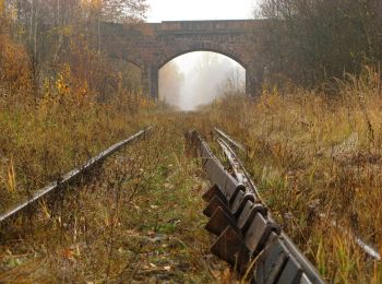
6.8 km | 8.7 km-effort
Kłodzko County: Discover the best trails: 14 on foot and 2 walking. All these trails, routes and outdoor activities are available in our SityTrail applications for smartphones and tablets.
On foot


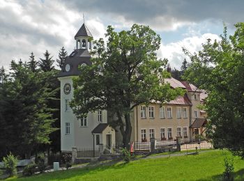
• Trail created by PTTK Nowa Ruda.
On foot
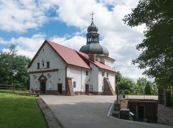
• Trail created by Parafia Nowa Ruda.
On foot
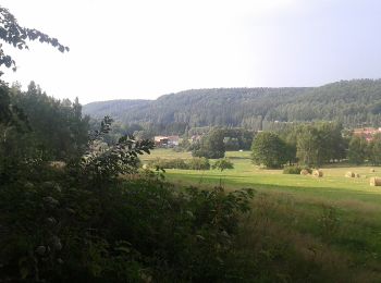
• Trail created by Park Narodowy Gór Stołowych. Symbol: Green leaf on white background
On foot
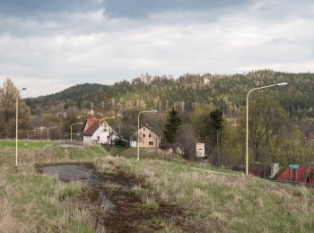
• Trail created by Nadleśnictwo Bystrzyca Kłodzka. Symbol: unmarked
On foot
• Trail created by Nadleśnictwo Bystrzyca Kłodzka. Symbol: unmarked
On foot
• Trail created by Fundacja Ziellony Szlak. Symbol: Green mushroom on white background Website: https://domnakoncusw...
On foot
• Idea utworzenia Leśnego Szlaku Wspinaczkowego pojawiła się w konsekwencji kilkuletniej współpracy Fundacji Wspierania...
On foot
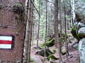
• Trail created by PTTK. Symbol: czerwono biały kwadrat
On foot
• Trail created by UM Polnica Zdrój. Symbol: Red heart on white background
On foot
• Trail created by Park Narodowy Gór Stołowych.
On foot
On foot
On foot
Walking
Walking

On foot
• Trail created by Fundacja Ziellony Szlak. Symbol: Green hare on white background Website: https://domnakoncuswiata...
16 trails displayed on 16
FREE GPS app for hiking
 SityTrail
IGN / Geographical institutes
SityTrail World
The world is yours!