


29 km | 46 km-effort
Canterbury: Discover the best trails: 10 on foot and 6 walking. All these trails, routes and outdoor activities are available in our SityTrail applications for smartphones and tablets.

On foot


• Enjoy magnificent views over Banks Peninsula, the Canterbury plains, Southern Alps and Pacific Ocean on this track, w...

On foot
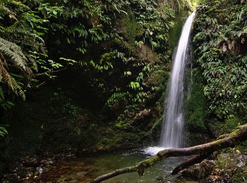
• Trail created by Department of Conservation.
On foot
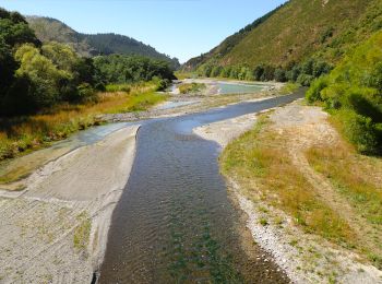
• Trail created by Department of Conservation.
On foot
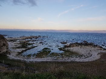
• Trail created by Department of Conservation.

On foot
• Trail created by Department of Conservation.
On foot
• Trail created by Sally and David Handyside.

On foot

On foot

On foot
Walking
• Rencontre Otaries

On foot

Walking
Walking
Walking
Walking
Walking
16 trails displayed on 16
FREE GPS app for hiking
 SityTrail
IGN / Geographical institutes
SityTrail World
The world is yours!