


5.5 km | 6.1 km-effort
Porirua City: Discover the best trails: 8 on foot. All these trails, routes and outdoor activities are available in our SityTrail applications for smartphones and tablets.
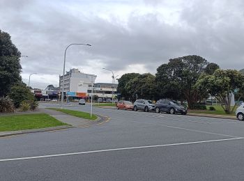
On foot


• Trail created by Porirua City Council.
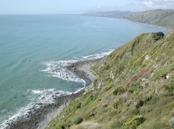
On foot
• Trail created by Porirua City Council. Website: https://poriruacity.govt.nz/discover-porirua/walking-biking/walk/t...
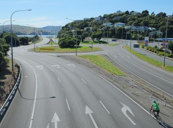
On foot
On foot
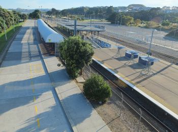
On foot
On foot

On foot
• Trail created by Porirua City Council.
On foot
8 trails displayed on 8
FREE GPS app for hiking
 SityTrail
IGN / Geographical institutes
SityTrail World
The world is yours!