


30 km | 37 km-effort
Canton Grevenmacher: Discover the best trails: 15 on foot, 18 walking and 1 nordic walking. All these trails, routes and outdoor activities are available in our SityTrail applications for smartphones and tablets.
Walking


On foot
• Symbol: stilisiertes weißes S und H auf lila Grund
On foot
On foot
On foot
On foot

On foot
On foot
On foot
On foot
On foot

On foot
On foot
On foot
Nordic walking
On foot

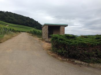
Walking
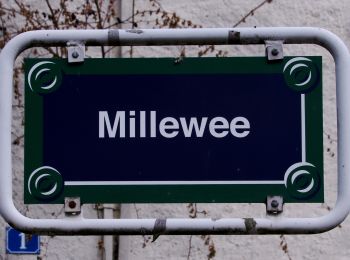
• Schlammwiss
Walking
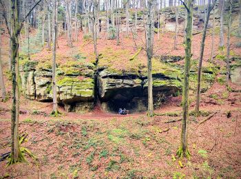
• Manternacher Fiels
Walking
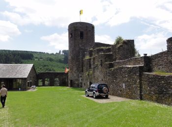
• Kelsbaach

On foot
20 trails displayed on 34
FREE GPS app for hiking
 SityTrail
IGN / Geographical institutes
SityTrail World
The world is yours!