Zone, Brescia, On foot: Best trails, routes and walks

Zone: Discover the best trails: 14 on foot and 1 walking. All these trails, routes and outdoor activities are available in our SityTrail applications for smartphones and tablets.


The best trails (15)
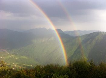
Trail On foot Zone - Malghe in Rete - Trekking - Le Creste Tappa 2 - Photo
On foot 5.516
Km
GUIDE+

On foot

Easy
Zone, Lombardy, Brescia, Italy
5.5 km | 7.8 km-effort
1h 46min
64 m
487 m
No
SityTrail - itinéraires balisés pédestres

• Symbol: white red flag

Trail On foot Zone - Malghe in Rete - Anello 4 - Punta Caravina - Photo
On foot 13.497
Km
GUIDE+

On foot

Medium
Zone, Lombardy, Brescia, Italy
13.5 km | 25 km-effort
5h 36min
836 m
838 m
Yes
SityTrail - itinéraires balisés pédestres

• Symbol: white red flag

Trail On foot Zone - Malghe in Rete - Anello 3 - Tredici Piante - Photo
On foot 5.163
Km
GUIDE+

On foot

Easy
Zone, Lombardy, Brescia, Italy
5.2 km | 11.6 km-effort
2h 37min
590 m
150 m
No
SityTrail - itinéraires balisés pédestres

• Symbol: white red flag

Trail On foot Zone - Malghe in Rete - Anello 2 - Monte Guglielmo - Photo
On foot 5.073
Km
GUIDE+

On foot

Easy
Zone, Lombardy, Brescia, Italy
5.1 km | 7.2 km-effort
1h 38min
71 m
436 m
No
SityTrail - itinéraires balisés pédestres

• Symbol: white red flag

Trail On foot Zone - Sentiero del Monte Guglielmo - Photo
On foot 4.239
Km
GUIDE+

On foot

Easy
Zone, Lombardy, Brescia, Italy
4.2 km | 11.2 km-effort
2h 32min
666 m
84 m
No
SityTrail - itinéraires balisés pédestres

• Trail created by Club Alpino Italiano. Symbol: red-white-red horizontal bars
Trail On foot Zone - Sentiero della Valle di Gasso - Photo
On foot 5.704
Km
GUIDE+

On foot

Easy
Zone, Lombardy, Brescia, Italy
5.7 km | 11.1 km-effort
2h 31min
538 m
15 m
No
SityTrail - itinéraires balisés pédestres

• Trail created by Club Alpino Italiano. Symbol: red-white-red horizontal bars
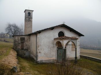
Trail On foot Zone - Sentiero di Tress - Passei - I Gnaf - Photo
On foot 6.865
Km
GUIDE+

On foot

Easy
Zone, Lombardy, Brescia, Italy
6.9 km | 18.2 km-effort
4h 8min
973 m
494 m
No
SityTrail - itinéraires balisés pédestres

• Trail created by Club Alpino Italiano. Symbol: red-white-red horizontal bars
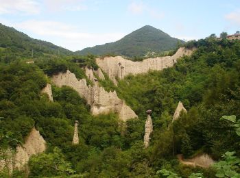
Trail On foot Zone - Sentiero di Monte Pura - Photo
On foot 4.908
Km
GUIDE+

On foot

Easy
Zone, Lombardy, Brescia, Italy
4.9 km | 12.4 km-effort
2h 49min
684 m
205 m
No
SityTrail - itinéraires balisés pédestres

• Trail created by Club Alpino Italiano. Symbol: red-white-red horizontal bars
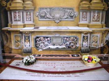
Trail On foot Zone - Sentiero di Bombolone - Aguina - Photo
On foot 3.907
Km
GUIDE+

On foot

Easy
Zone, Lombardy, Brescia, Italy
3.9 km | 8.9 km-effort
2h 1min
493 m
14 m
No
SityTrail - itinéraires balisés pédestres

• Trail created by Club Alpino Italiano. Symbol: red-white-red horizontal bars
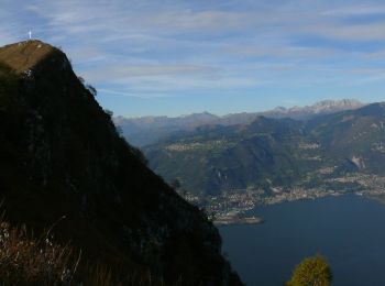
Trail On foot Zone - Sentiero di Monte Vignole - Photo
On foot 5.002
Km
GUIDE+

On foot

Easy
Zone, Lombardy, Brescia, Italy
5 km | 10.3 km-effort
2h 20min
394 m
408 m
Yes
SityTrail - itinéraires balisés pédestres

• Trail created by Club Alpino Italiano. Symbol: red-white-red horizontal bars
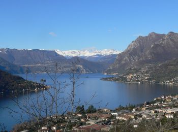
Trail On foot Zone - Antica Strada Valeriana - Photo
On foot 5.061
Km
GUIDE+

On foot

Easy
Zone, Lombardy, Brescia, Italy
5.1 km | 6.7 km-effort
1h 31min
33 m
405 m
No
SityTrail - itinéraires balisés pédestres

• DA COMPLETARE Symbol: yellow VV on brown field
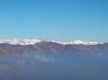
Trail On foot Zone - Inzino (Innesto Sentiero 315) - Monte Guglielmo - Photo
On foot 5.704
Km
GUIDE+

On foot

Easy
Zone, Lombardy, Brescia, Italy
5.7 km | 10.1 km-effort
2h 17min
3 m
1308 m
No
SityTrail - itinéraires balisés pédestres

• Trail created by Club Alpino Italiano - Sezione di Gardone Val Trompia. Symbol: 316 on white red flag

Trail On foot Zone - Malghe in Rete - Trekking - Le Valli Tappa 2 - Photo
On foot 10.388
Km
GUIDE+

On foot

Easy
Zone, Lombardy, Brescia, Italy
10.4 km | 16.4 km-effort
3h 44min
283 m
966 m
No
SityTrail - itinéraires balisés pédestres

• Symbol: white red flag

Trail On foot Zone - Sentiero dell'Uccellatore - Photo
On foot 3.711
Km
GUIDE+

On foot

Easy
Zone, Lombardy, Brescia, Italy
3.7 km | 5.9 km-effort
1h 20min
139 m
246 m
No
SityTrail - itinéraires balisés pédestres

• Trail created by Club Alpino Italiano. Symbol: red-white-red horizontal bars

Trail Walking Zone - zone nord - Photo
Walking 7.552
Km

Walking

Medium
Zone, Lombardy, Brescia, Italy
7.6 km | 14.3 km-effort
3h 14min
506 m
506 m
Yes
mijuclo

15 trails displayed on 15

FREE GPS app for hiking

Logo SityTrail SityTrail

IGN / Geographical institutes

Download SityTrail from the App Store Download SityTrail from Google Play

Logo SityTrail SityTrail World

The world is yours!

Download SityTrail from the App Store Download SityTrail from Google Play Download SityTrail on Huawei AppGallery

Activities

Close
My subscriptions