Vogogna, Verbano-Cusio-Ossola, On foot: Best trails, routes and walks

Vogogna: Discover the best trails: 4 on foot. All these trails, routes and outdoor activities are available in our SityTrail applications for smartphones and tablets.


The best trails (4)
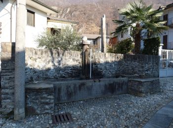
Trail On foot Vogogna - A28 - Prata - Pizzo Lacina - Photo
On foot 4.945
Km
GUIDE+

On foot

Medium
Vogogna, Piemont, Verbano-Cusio-Ossola, Italy
4.9 km | 21 km-effort
4h 48min
1622 m
0 m
No
SityTrail - itinéraires balisés pédestres

• Relation with photos (click on → Web site) mantained by Danilo (danbag) Symbol: some old white red flags Website: ...
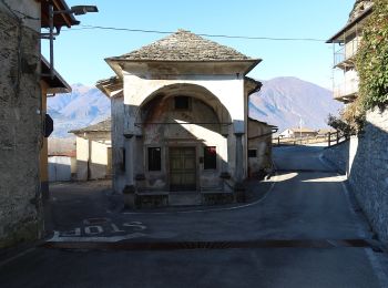
Trail On foot Vogogna - A32 - Vogogna - Alpe Ceresola - bivio A28 - Photo
On foot 4.837
Km
GUIDE+

On foot

Easy
Vogogna, Piemont, Verbano-Cusio-Ossola, Italy
4.8 km | 15.1 km-effort
3h 26min
1027 m
12 m
No
SityTrail - itinéraires balisés pédestres

• Club Alpino Italiano Sezioni Est Monte Rosa - Associazione delle Sezioni del Club Alpino Italiano delle Province del ...

Trail On foot Vogogna - A34 - Vogogna - Pizzo Lacina - Photo
On foot 4.917
Km
GUIDE+

On foot

Medium
Vogogna, Piemont, Verbano-Cusio-Ossola, Italy
4.9 km | 22 km-effort
4h 53min
1663 m
1 m
No
SityTrail - itinéraires balisés pédestres

• Relation with photos (click on → Web site) mantained by Danilo (danbag) Symbol: some old white red flags Website: ...

Trail On foot Vogogna - Via Romana tappa 2 - Photo
On foot 17.542
Km
GUIDE+

On foot

Medium
Vogogna, Piemont, Verbano-Cusio-Ossola, Italy
17.5 km | 22 km-effort
4h 57min
315 m
343 m
No
SityTrail - itinéraires balisés pédestres

4 trails displayed on 4

FREE GPS app for hiking

Logo SityTrail SityTrail

IGN / Geographical institutes

Download SityTrail from the App Store Download SityTrail from Google Play

Logo SityTrail SityTrail World

The world is yours!

Download SityTrail from the App Store Download SityTrail from Google Play Download SityTrail on Huawei AppGallery

Activities

Close
My subscriptions