


14 km | 26 km-effort
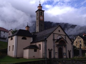
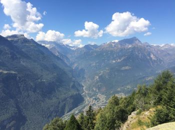
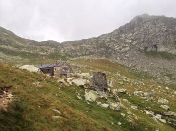
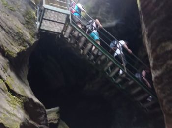
Baceno: Discover the best trails: 9 on foot and 6 walking. All these trails, routes and outdoor activities are available in our SityTrail applications for smartphones and tablets.
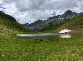
On foot


• Sentiero Italia CAI 2019
On foot
• Relation with Google Earth photos (click on → web site) mantained by Danilo (CAI Pallanza) Symbol: white red flags
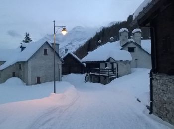
Walking
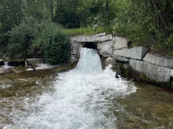
On foot
On foot
On foot
On foot
On foot
On foot
Walking
On foot
Walking
Walking

Walking
•
Walking
•
15 trails displayed on 15
FREE GPS app for hiking
 SityTrail
IGN / Geographical institutes
SityTrail World
The world is yours!