


4.4 km | 6.4 km-effort
Miazzina: Discover the best trails: 4 on foot and 4 walking. All these trails, routes and outdoor activities are available in our SityTrail applications for smartphones and tablets.
On foot


• Club Alpino Italiano Sezioni Est Monte Rosa - Associazione delle Sezioni del Club Alpino Italiano delle Province del ...
On foot
• Relation with photos (click on → Web site) mantained by Danilo (CAI Pallanza) Symbol: white red flag
Walking
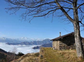
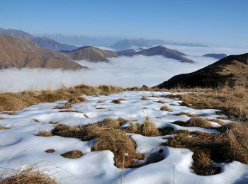
On foot
• Relation with photos (click on → Web site) mantained by Danilo (CAI Pallanza) Symbol: unmarked
Walking
Walking

Walking
• Départ vers Miazzina. La randonnée permet de découvrir la nature sauvage qui annonce l'entrée dans le Parc National d...

On foot
8 trails displayed on 8
FREE GPS app for hiking
 SityTrail
IGN / Geographical institutes
SityTrail World
The world is yours!