


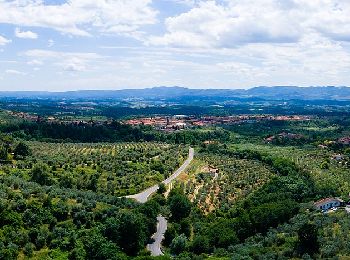
19.9 km | 38 km-effort
Loro Ciuffenna: Discover the best trails: 11 on foot. All these trails, routes and outdoor activities are available in our SityTrail applications for smartphones and tablets.
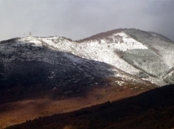
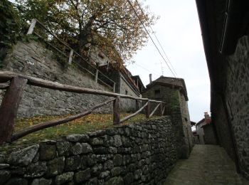
On foot


• Trail created by Club Alpino Italiano - Sezione Valdarno Superiore.
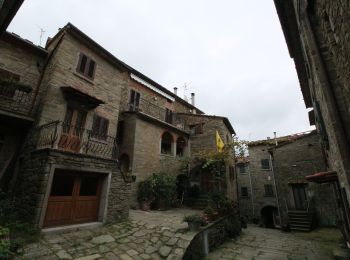
On foot
• Trail created by Club Alpino Italiano - Sezione Valdarno Superiore.
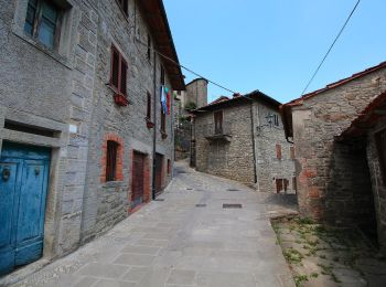
On foot
• Trail created by Unione dei Comuni Pratomagno.
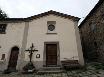
On foot
• Trail created by Club Alpino Italiano.
On foot
• Trail created by Club Alpino Italiano.
On foot
• Trail created by CAI.
On foot
• Trail created by Club Alpino Italiano.

On foot
• Trail created by Club Alpino Italiano - Sezione Valdarno Superiore.
On foot
• Trail created by Unione dei Comuni Pratomagno.
On foot
• Trail created by Club Alpino Italiano.
On foot
• Trail created by Club Alpino Italiano. Symbol: red square with horizontal white bar and black text
11 trails displayed on 11
FREE GPS app for hiking
 SityTrail
IGN / Geographical institutes
SityTrail World
The world is yours!