Olang - Valdaora, South Tyrol, On foot: Best trails, routes and walks

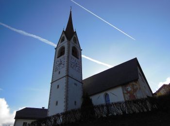
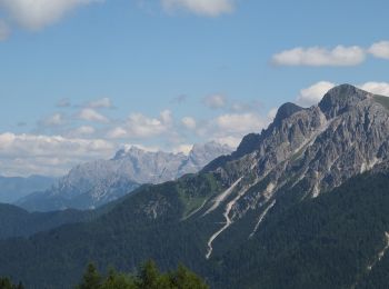
Olang - Valdaora: Discover the best trails: 16 on foot. All these trails, routes and outdoor activities are available in our SityTrail applications for smartphones and tablets.
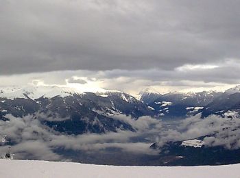
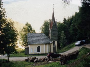
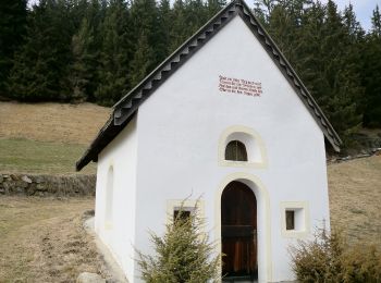
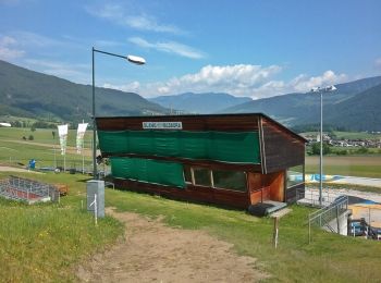
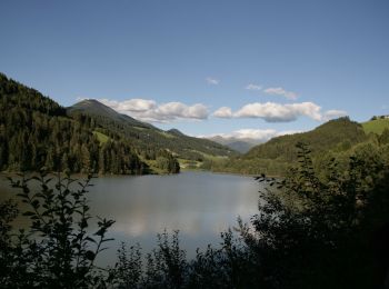
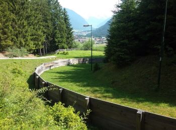

The best trails (16)

Trail On foot Olang - Valdaora - Rundweg Corones B - Photo
On foot 6.127
Km
PRO

On foot

Easy
Olang - Valdaora, Trentino-Alto Adige/Südtirol, South Tyrol, Italy
6.1 km | 8.7 km-effort
1h 57min
189 m
190 m
Yes
SityTrail - itinéraires balisés pédestres

• Symbol: rot-weiss-rot mit Buchstabe B

Trail On foot Olang - Valdaora - Wanderroute 22 - Photo
On foot 5.4
Km
PRO

On foot

Easy
Olang - Valdaora, Trentino-Alto Adige/Südtirol, South Tyrol, Italy
5.4 km | 10.2 km-effort
2h 18min
446 m
88 m
No
SityTrail - itinéraires balisés pédestres

• Trail created by Tourismusverein (TV).

Trail On foot Olang - Valdaora - Lottosteig - Photo
On foot 4.26
Km
PRO

On foot

Easy
Olang - Valdaora, Trentino-Alto Adige/Südtirol, South Tyrol, Italy
4.3 km | 7.2 km-effort
1h 37min
270 m
59 m
No
SityTrail - itinéraires balisés pédestres

Trail On foot Olang - Valdaora - Rundweg Salla - Photo
On foot 6.108
Km
PRO

On foot

Easy
Olang - Valdaora, Trentino-Alto Adige/Südtirol, South Tyrol, Italy
6.1 km | 9.3 km-effort
2h 6min
217 m
306 m
No
SityTrail - itinéraires balisés pédestres

Trail On foot Olang - Valdaora - IT-39 - Photo
On foot 8.443
Km
PRO

On foot

Easy
Olang - Valdaora, Trentino-Alto Adige/Südtirol, South Tyrol, Italy
8.4 km | 13.9 km-effort
3h 9min
449 m
294 m
No
SityTrail - itinéraires balisés pédestres

Trail On foot Olang - Valdaora - IT-20B - Photo
On foot 5.561
Km
PRO

On foot

Easy
Olang - Valdaora, Trentino-Alto Adige/Südtirol, South Tyrol, Italy
5.6 km | 12.5 km-effort
2h 50min
692 m
0 m
No
SityTrail - itinéraires balisés pédestres

Trail On foot Olang - Valdaora - IT-22 - Photo
On foot 3.417
Km
PRO

On foot

Easy
Olang - Valdaora, Trentino-Alto Adige/Südtirol, South Tyrol, Italy
3.4 km | 7.1 km-effort
1h 36min
333 m
100 m
No
SityTrail - itinéraires balisés pédestres

Trail On foot Olang - Valdaora - IT-6A - Photo
On foot 3.025
Km
PRO

On foot

Easy
Olang - Valdaora, Trentino-Alto Adige/Südtirol, South Tyrol, Italy
3 km | 8.9 km-effort
2h 1min
586 m
0 m
No
SityTrail - itinéraires balisés pédestres

Trail On foot Olang - Valdaora - IT-7 - Photo
On foot 3.805
Km
PRO

On foot

Easy
Olang - Valdaora, Trentino-Alto Adige/Südtirol, South Tyrol, Italy
3.8 km | 9.6 km-effort
2h 11min
583 m
3 m
No
SityTrail - itinéraires balisés pédestres

Trail On foot Olang - Valdaora - IT-32 - Photo
On foot 8.77
Km
PRO

On foot

Medium
Olang - Valdaora, Trentino-Alto Adige/Südtirol, South Tyrol, Italy
8.8 km | 21 km-effort
4h 41min
1172 m
56 m
No
SityTrail - itinéraires balisés pédestres

Trail On foot Olang - Valdaora - IT-3 - Photo
On foot 3.809
Km
PRO

On foot

Easy
Olang - Valdaora, Trentino-Alto Adige/Südtirol, South Tyrol, Italy
3.8 km | 9.8 km-effort
2h 14min
604 m
0 m
No
SityTrail - itinéraires balisés pédestres

Trail On foot Olang - Valdaora - IT-2 - Photo
On foot 9.682
Km
PRO

On foot

Medium
Olang - Valdaora, Trentino-Alto Adige/Südtirol, South Tyrol, Italy
9.7 km | 22 km-effort
4h 59min
1222 m
8 m
No
SityTrail - itinéraires balisés pédestres

Trail On foot Olang - Valdaora - IT-14 - Photo
On foot 5.105
Km
PRO

On foot

Easy
Olang - Valdaora, Trentino-Alto Adige/Südtirol, South Tyrol, Italy
5.1 km | 7 km-effort
1h 35min
107 m
248 m
No
SityTrail - itinéraires balisés pédestres

Trail On foot Olang - Valdaora - IT-35A - Photo
On foot 4.804
Km
PRO

On foot

Easy
Olang - Valdaora, Trentino-Alto Adige/Südtirol, South Tyrol, Italy
4.8 km | 6.5 km-effort
1h 28min
47 m
355 m
No
SityTrail - itinéraires balisés pédestres

• Trail created by AVS.

Trail On foot Olang - Valdaora - Almsteig - Photo
On foot 5.743
Km
PRO

On foot

Easy
Olang - Valdaora, Trentino-Alto Adige/Südtirol, South Tyrol, Italy
5.7 km | 8.6 km-effort
1h 57min
232 m
163 m
No
SityTrail - itinéraires balisés pédestres

Trail On foot Olang - Valdaora - IT-13 - Photo
On foot 3.941
Km
PRO

On foot

Easy
Olang - Valdaora, Trentino-Alto Adige/Südtirol, South Tyrol, Italy
3.9 km | 5.4 km-effort
1h 14min
87 m
188 m
No
SityTrail - itinéraires balisés pédestres

16 trails displayed on 16

FREE GPS app for hiking

Logo SityTrail SityTrail

IGN / Geographical institutes

Download SityTrail from the App Store Download SityTrail from Google Play

Logo SityTrail SityTrail World

The world is yours!

Download SityTrail from the App Store Download SityTrail from Google Play Download SityTrail on Huawei AppGallery

Activities

Close
My subscriptions