Scurelle, Provincia di Trento, On foot: Best trails, routes and walks

Scurelle: Discover the best trails: 6 on foot. All these trails, routes and outdoor activities are available in our SityTrail applications for smartphones and tablets.


The best trails (6)
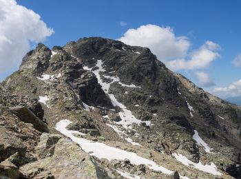
Trail On foot Scurelle - (SI C13S) Rifugio Malga Conseria - Forccella Magna - Passo dei Pastori - Rifugio Brentari alla Cima d'Asta - Forcella di Val Regana - Caoria - Photo
On foot 20.307
Km
GUIDE+

On foot

Difficult
Scurelle, Trentino-Alto Adige/Südtirol, Provincia di Trento, Italy
20 km | 36 km-effort
8h 15min
949 m
1965 m
No
SityTrail - itinéraires balisés pédestres

• Sentiero Italia CAI 2019

Trail On foot Scurelle - Sentiero Augusto Daolio Dante Pergreffi - Photo
On foot 4.79
Km
GUIDE+

On foot

Easy
Scurelle, Trentino-Alto Adige/Südtirol, Provincia di Trento, Italy
4.8 km | 8.3 km-effort
1h 52min
59 m
869 m
No
SityTrail - itinéraires balisés pédestres

• Trail created by Comune di Scurelle. Symbol: L31 on white red flags
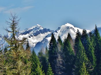
Trail On foot Scurelle - Sentiero di Val Montalon - Photo
On foot 7.6
Km
GUIDE+

On foot

Easy
Scurelle, Trentino-Alto Adige/Südtirol, Provincia di Trento, Italy
7.6 km | 17.1 km-effort
3h 52min
835 m
339 m
No
SityTrail - itinéraires balisés pédestres

• Trail created by Società degli Alpinisti Tridentini. Website: http://www.sat.tn.it/
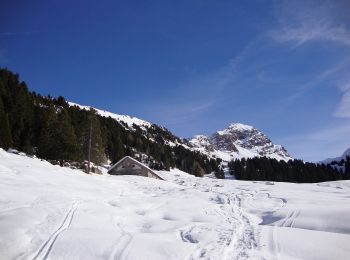
Trail On foot Scurelle - IT-E326 - Photo
On foot 7.638
Km
GUIDE+

On foot

Easy
Scurelle, Trentino-Alto Adige/Südtirol, Provincia di Trento, Italy
7.6 km | 16.7 km-effort
3h 47min
813 m
269 m
No
SityTrail - itinéraires balisés pédestres

• Trail created by Società degli Alpinisti Tridentini. Website: http://www.sat.tn.it/
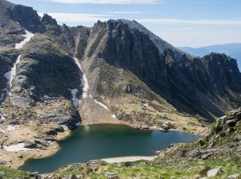
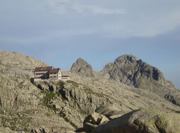
Trail On foot Scurelle - Sentiero della Memoria n°2 - Photo
On foot 4.657
Km
GUIDE+

On foot

Easy
Scurelle, Trentino-Alto Adige/Südtirol, Provincia di Trento, Italy
4.7 km | 11.4 km-effort
2h 35min
604 m
214 m
No
SityTrail - itinéraires balisés pédestres

Trail On foot Scurelle - Trodo dei Salti - Photo
On foot 5.489
Km
GUIDE+

On foot

Easy
Scurelle, Trentino-Alto Adige/Südtirol, Provincia di Trento, Italy
5.5 km | 15.4 km-effort
3h 29min
986 m
7 m
No
SityTrail - itinéraires balisés pédestres

• Trail created by Società degli Alpinisti Tridentini. Symbol: 384 on white red flags Website: http://www.sat.tn.it/

6 trails displayed on 6

FREE GPS app for hiking

Logo SityTrail SityTrail

IGN / Geographical institutes

Download SityTrail from the App Store Download SityTrail from Google Play

Logo SityTrail SityTrail World

The world is yours!

Download SityTrail from the App Store Download SityTrail from Google Play Download SityTrail on Huawei AppGallery

Activities

Close
My subscriptions