


4.5 km | 8.1 km-effort
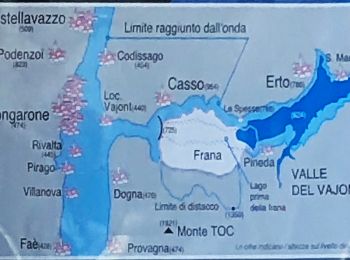
Erto e Casso: Discover the best trails: 11 on foot. All these trails, routes and outdoor activities are available in our SityTrail applications for smartphones and tablets.
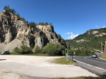
On foot


• Trail created by Club Alpino Italiano.
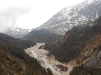
On foot
• Trail created by Club Alpino Italiano. Symbol: rosso-bianco-rosso con il numero 380 in nero sulla striscia bianca
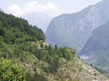
On foot
• Trail created by Club Alpino Italiano.
On foot
• Trail created by Club Alpino Italiano.
On foot
• Trail created by Club Alpino Italiano.
On foot
• Trail created by Club Alpino Italiano.

On foot
• Trail created by Club Alpino Italiano.
On foot
• Trail created by Club Alpino Italiano.
On foot
• Trail created by Club Alpino Italiano. Symbol: red-white-red stripes with a black 905 in the white stripe
On foot
• Trail created by Club Alpino Italiano. Symbol: red-white-red stripes with a black 904 in the white stripe
On foot
11 trails displayed on 11
FREE GPS app for hiking
 SityTrail
IGN / Geographical institutes
SityTrail World
The world is yours!