
Caserta, Campania, On foot: Best trails, routes and walks
Caserta: Discover the best trails: 86 on foot. All these trails, routes and outdoor activities are available in our SityTrail applications for smartphones and tablets.
The best trails (86)
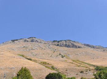
Km
On foot


• Symbol: 120 on white red flags
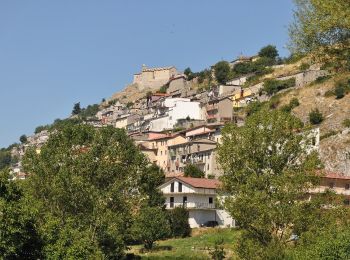
Km
On foot


• Trail created by Club Alpino Italiano. Symbol: 114 on white red flags
Km
On foot


• Symbol: 110 on white red flags
Km
On foot


• Symbol: 900 on white red flags

Km
On foot


• Symbol: 901 on white red flags
Km
On foot


• Symbol: 904 on white red flags
Km
On foot


• Symbol: 909 on white red flags
Km
On foot


• Symbol: 919 on white red flags
Km
On foot


• Symbol: 805 on white red flags
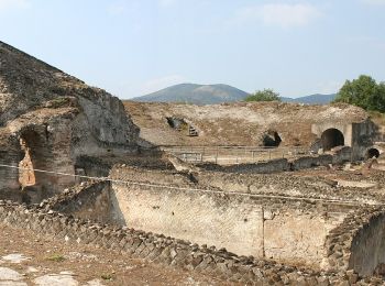
Km
On foot


• Symbol: 803 on white red flags
Km
On foot


• Symbol: 804 on white red flags

Km
On foot


• Symbol: 801 on white red flags

Km
On foot


• Symbol: 800 on white red flags
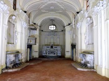
Km
On foot


• Symbol: 141 on white red flags

Km
On foot


• Symbol: 149 on white red flags
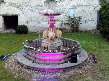
Km
On foot


• Symbol: 152 on white red flags
Km
On foot


• Symbol: 622 on white red flags

Km
On foot


• Symbol: 619A on white red flags

Km
On foot


• Symbol: 617A on white red flags

Km
On foot


• Symbol: 617 on white red flags
20 trails displayed on 86
FREE GPS app for hiking
Activities
Nearby regions
- Alife
- Calvi Risorta
- Capua
- Carinola
- Casapulla
- Caserta
- Castel Morrone
- Castel di Sasso
- Castello del Matese
- Falciano del Massico
- Formicola
- Francolise
- Gallo Matese
- Galluccio
- Gioia Sannitica
- Letino
- Liberi
- Marzano Appio
- Mignano Monte Lungo
- Mondragone
- Piedimonte Matese
- Pietramelara
- Pietravairano
- Pontelatone
- Raviscanina
- Rocca d'Evandro
- Roccamonfina
- Roccaromana
- Rocchetta e Croce
- San Felice a Cancello
- San Gregorio Matese
- San Pietro Infine
- San Potito Sannitico
- San Prisco
- Sant'Angelo d'Alife
- Sessa Aurunca
- Teano
- Valle Agricola


 SityTrail


