


8.4 km | 16.3 km-effort
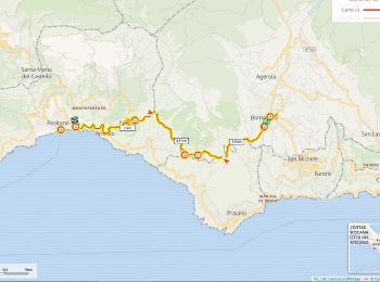
Agerola: Discover the best trails: 7 on foot and 7 walking. All these trails, routes and outdoor activities are available in our SityTrail applications for smartphones and tablets.
Walking


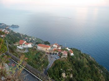
On foot
• Trail created by Club Alpino Italiano. Symbol: white strip on top of red strip
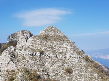
On foot
• Trail created by Club Alpino Italiano. Symbol: white strip on top of red strip
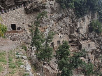
On foot
• Trail created by Club Alpino Italiano. Symbol: white strip on top of red strip

On foot
• Trail created by Club Alpino Italiano. Symbol: Rosso bianco rosso
On foot
• Trail created by Club Alpino Italiano. Symbol: white strip on top of red strip
Walking
Walking

On foot
• Trail created by Club Alpino Italiano. Symbol: 300 on white red flags
On foot

Walking
Walking
Walking
Walking
14 trails displayed on 14
FREE GPS app for hiking
 SityTrail
IGN / Geographical institutes
SityTrail World
The world is yours!