


13.3 km | 19.5 km-effort
Magione: Discover the best trails: 4 on foot. All these trails, routes and outdoor activities are available in our SityTrail applications for smartphones and tablets.
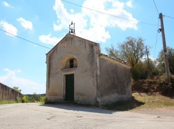
On foot


• Trail created by Parco regionale del Lago Trasimeno. number of itinerary being updated Umbria Excursion Network Sym...
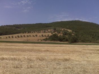
On foot
• Trail created by Parco regionale del Lago Trasimeno. number of itinerary being updated Umbria Excursion Network Sym...
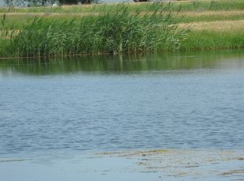
On foot
• Trail created by Parco regionale del Lago Trasimeno. number of itinerary being updated Umbria Excursion Network Sym...

On foot
• Trail created by Club Alpino Italiano sezione Perugia. number of itinerary being updated Umbria Excursion Network S...
4 trails displayed on 4
FREE GPS app for hiking
 SityTrail
IGN / Geographical institutes
SityTrail World
The world is yours!