


5.6 km | 7.5 km-effort
Israel: Discover the 235 best hiking and cycling trail ideas. Our catalogue, manually prepared by our hikers, contains lots of beautiful landscapes to explore. Download these trails in SityTrail, our free hiking GPS application available on Android and iOS.
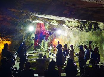
On foot


• Trail created by itc.
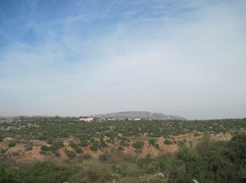
On foot
• Trail created by itc.

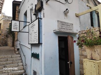
On foot
• Trail created by itc.
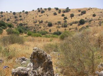
On foot
• Trail created by rtg.
On foot
• Trail created by itc.
On foot
• Trail created by itc.
On foot
• Trail created by itc.
On foot
• Trail created by itc.
On foot
• Trail created by itc. continues northeast - route uncertain
On foot
• Trail created by Hadassah.
On foot
• Trail created by itc.
On foot
• Trail created by itc.
On foot
• Trail created by itc.
On foot
• Trail created by itc.
On foot
• Trail created by itc.
On foot
• Trail created by itc.
On foot
• Trail created by itc.

On foot
• Trail created by itc.

On foot
• Trail created by itc.

On foot
• Trail created by itc.
20 trails displayed on 235
FREE GPS app for hiking
 SityTrail
IGN / Geographical institutes
SityTrail World
The world is yours!