


7.3 km | 7.8 km-effort
County Mayo: Discover the best trails: 29 on foot and 13 walking. All these trails, routes and outdoor activities are available in our SityTrail applications for smartphones and tablets.
On foot


• Website: https://achilltourism.com/valley-loop-walk-sli-toin-a-tseanbhaile/
On foot
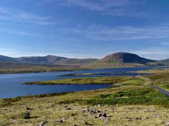
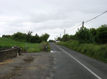
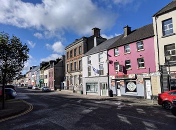
• Mayo offers most types of walking to include mountain and hill walks, coastal and island, rural and urban. The variet...
On foot
On foot
• Symbol: hiker
On foot
• Website: http://www.mayotrails.ie/kiltimagh.html#foothills
On foot
• Website: http://www.mayotrails.ie/kiltimagh.html#glore
On foot
• Not to be confused with the "Foxford Way" 86km non-looped trail. Website: http://www.mayotrails.ie/foxford.html
On foot
On foot
• Trail created by Irish National Looped Walks.
On foot
• Trail created by Irish National Looped Walks.
On foot
• Trail created by Irish National Looped Walks.
On foot
• Trail created by Ballintubber Abbey. Permission to walk on farmer's land must be obtained from Ballintubber Abbey ...
On foot
• Trail created by Slí na Sláinte - Irish Heart Foundation.
On foot
• Mayo offers most types of walking to include mountain and hill walks, coastal and island, rural and urban. The variet...
On foot
On foot
On foot
• Website: http://www.mayotrails.ie/kiltimagh.html#peak
On foot
On foot
On foot
• Website: http://www.mayotrails.ie/foxford.html
20 trails displayed on 42
FREE GPS app for hiking
 SityTrail
IGN / Geographical institutes
SityTrail World
The world is yours!