


6.7 km | 10.6 km-effort
County Clare: Discover the best trails: 4 on foot and 17 walking. All these trails, routes and outdoor activities are available in our SityTrail applications for smartphones and tablets.
On foot


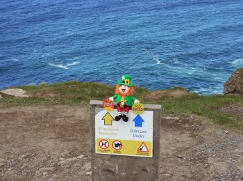
• Website: http://www.doolincliffwalk.com/
On foot
• Trail created by Burren National Park. Symbol: red dot
On foot
• Trail created by Burren National Park. Symbol: blue dot
On foot
• Symbol: orange arrow on circular plate
Walking
Walking
Walking

Walking
Walking
Walking
Walking
Walking
Walking
Walking
Walking
Walking
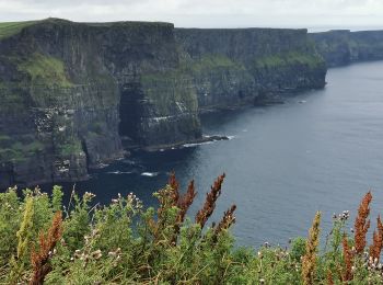
• Moher walk
Walking
•
Walking
Walking
Walking
20 trails displayed on 21
FREE GPS app for hiking
 SityTrail
IGN / Geographical institutes
SityTrail World
The world is yours!