


7.3 km | 7.8 km-effort
Ireland: Discover the 357 best hiking and cycling trail ideas. Our catalogue, manually prepared by our hikers, contains lots of beautiful landscapes to explore. Download these trails in SityTrail, our free hiking GPS application available on Android and iOS.
On foot


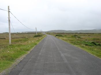
• Website: https://achilltourism.com/valley-loop-walk-sli-toin-a-tseanbhaile/
On foot
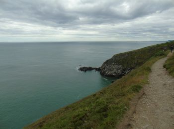
• Symbol: Green arrow on white background Website: https://www.irishtrails.ie/Trail/Howth---Cliff-Path-loop/107/
On foot
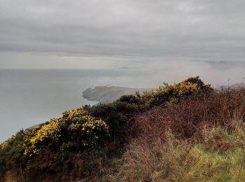
• Symbol: Blue arrow on white background Website: https://www.irishtrails.ie/Trail/Howth---Tramline-loop/108/
On foot
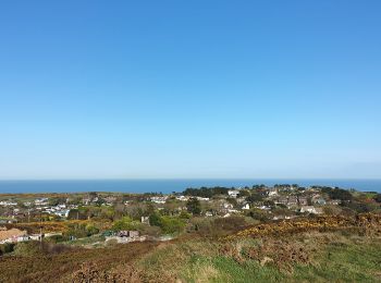
• Symbol: Red arrow on white background Website: https://www.irishtrails.ie/Trail/Howth---Black-Linn-loop/109/
On foot
• Website: http://explorewestcork.ie/walking/the-drimoleague-heritage-walkways/
On foot
• Website: http://explorewestcork.ie/walking/the-drimoleague-heritage-walkways/
On foot
• Website: http://explorewestcork.ie/walking/the-drimoleague-heritage-walkways/
On foot
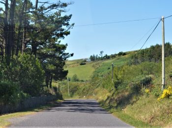
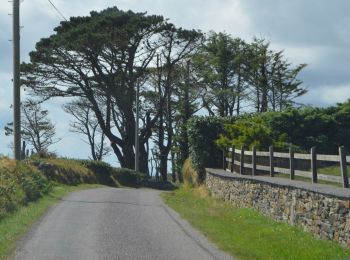
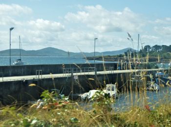
• “Water and ground in their extremity…” – Seamus Heaney The Sheep’s Head Way is a long distance walking trail in West ...
On foot
• “Water and ground in their extremity…” – Seamus Heaney The Sheep’s Head Way is a long distance walking trail in West ...
On foot
• “Water and ground in their extremity…” – Seamus Heaney The Sheep’s Head Way is a long distance walking trail in West ...
On foot
• “Water and ground in their extremity…” – Seamus Heaney The Sheep’s Head Way is a long distance walking trail in West ...
On foot
• “Water and ground in their extremity…” – Seamus Heaney The Sheep’s Head Way is a long distance walking trail in West ...
On foot
• “Water and ground in their extremity…” – Seamus Heaney The Sheep’s Head Way is a long distance walking trail in West ...
On foot
• “Water and ground in their extremity…” – Seamus Heaney The Sheep’s Head Way is a long distance walking trail in West ...
On foot
• “Water and ground in their extremity…” – Seamus Heaney The Sheep’s Head Way is a long distance walking trail in West ...
On foot
• “Water and ground in their extremity…” – Seamus Heaney The Sheep’s Head Way is a long distance walking trail in West ...
On foot
• “Water and ground in their extremity…” – Seamus Heaney The Sheep’s Head Way is a long distance walking trail in West ...
On foot
• Trail created by Wicklow Uplands Council. Symbol: Yellow Hiker Website: http://www.wicklowuplands.ie/the-sugar-loa...
On foot
• Symbol: orange arrow
On foot
• Trail created by Wicklow Uplands Council. Symbol: yellow hiker on black Website: http://www.irishtrails.ie/Trail/A...
20 trails displayed on 357
FREE GPS app for hiking
 SityTrail
IGN / Geographical institutes
SityTrail World
The world is yours!