


3.9 km | 13 km-effort
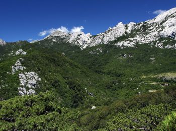
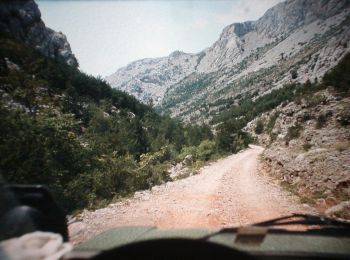
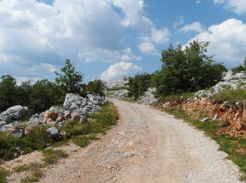
Zadar County: Discover the best trails: 32 on foot, 5 walking and 1 trail. All these trails, routes and outdoor activities are available in our SityTrail applications for smartphones and tablets.
On foot


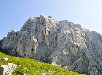
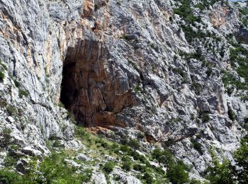
• Trail created by PD Paklenica, Zadar (http://www.pdpaklenica.hr).
On foot
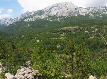
• Trail created by PD Paklenica, Zadar (http://www.pdpaklenica.hr).
On foot
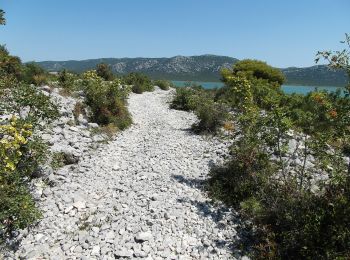
• Park prirode Vransko jezero predstavlja mjesto neposrednog susreta s prirodom i pruža jedinstvenu priliku da prirodom...
On foot
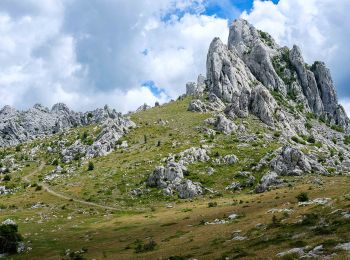
• Trail created by PD Belveder Biograd na Moru.
On foot
• Trail created by PD Paklenica.

On foot
• Trail created by PD Paklenica.
On foot
• Trail created by PD Paklenica, Zadar.
On foot
• Trail created by PD Paklenica, Zadar (http://www.pdpaklenica.hr).
On foot
• Trail created by PD Belveder.
On foot
• Trail created by PD Paklenica, Zadar.
On foot
• Planinarski dom u Velikoj Paklenici-južnom stranom potoka Velika Paklenica-(x) Samarđinovac-(x)spoj s putom iz Veliki...
On foot
• Trail created by PD Paklenica.
On foot
• Trail created by PD Paklenica, Zadar. v250 m zapadno od Doma u Velikoj Paklenici, s puta za Ivine Vodice-Zapadak-juž...
On foot
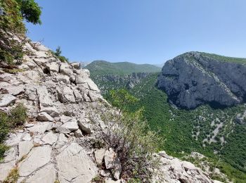
• Trail created by PD Paklenica, Zadar. (x)Kanjon Velika Paklenica kod Pjeskovica-Donja Draga-Mala Močila, (x) s putom...
On foot
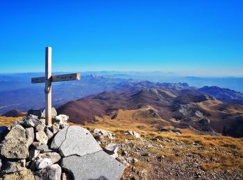
• Trail created by NP Paklenica, Starigrad-Paklenica. Starigrad-Paklenica-Paklenička ulica-Marasovići-recepcija NP Pak...
On foot
• Trail created by PD Paklenica.
On foot
On foot
On foot
On foot
20 trails displayed on 38
FREE GPS app for hiking
 SityTrail
IGN / Geographical institutes
SityTrail World
The world is yours!