


29 km | 63 km-effort
Gwynedd: Discover the best trails: 11 on foot and 9 walking. All these trails, routes and outdoor activities are available in our SityTrail applications for smartphones and tablets.

On foot


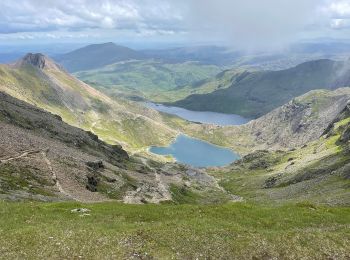
• Traditional route is S-to-N, summit to summit Website: https://www.welsh3000s.co.uk/
On foot
• Trail created by Forestry Commission. Symbol: blue footprint

Walking
On foot
On foot
• Website: http://www.taithardudwyway.com
On foot

On foot
On foot
On foot

On foot
On foot
On foot
Walking

Walking
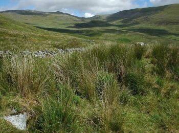
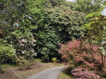
• Tranquille
Walking
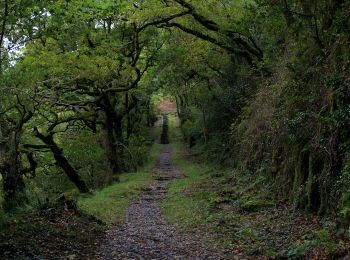
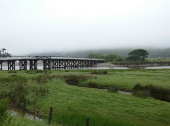
• Un beau chemin ce matin avec une bonne pluie, pas mieux.

Walking
• Un beau chemin ce matin avec une bonne pluie, pas mieux.

Walking
Walking
Walking
Walking
20 trails displayed on 20
FREE GPS app for hiking
 SityTrail
IGN / Geographical institutes
SityTrail World
The world is yours!