


1.3 km | 3.8 km-effort
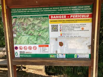
Quenza: Discover the best trails: 1 on foot, 108 walking and 2 trail. All these trails, routes and outdoor activities are available in our SityTrail applications for smartphones and tablets.
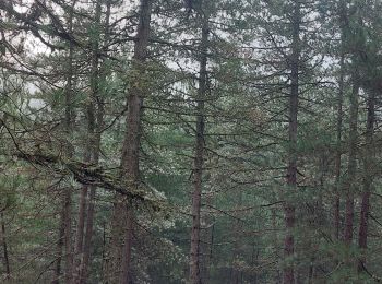
Walking


Walking

Walking
Walking
Walking
Walking
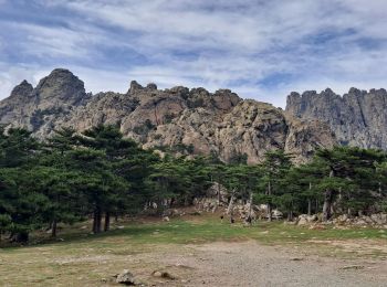
• Asinau-Paliri
Walking

Walking
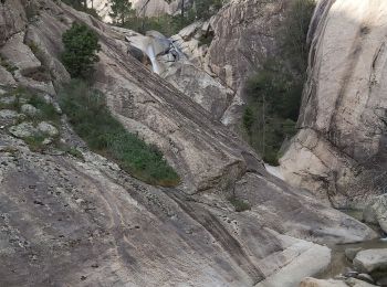
• Escalade sur la fin
Walking
• Escalade sur la fin
Walking
Walking
Walking
Walking
Walking
Walking
Walking
Walking
Walking
Walking

Walking
20 trails displayed on 111
FREE GPS app for hiking
 SityTrail
IGN / Geographical institutes
SityTrail World
The world is yours!