


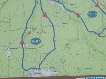
12.8 km | 14.1 km-effort
Landes: Discover the best trails: 42 on foot, 1328 walking, 21 nordic walking, 40 running and 9 trail. All these trails, routes and outdoor activities are available in our SityTrail applications for smartphones and tablets.

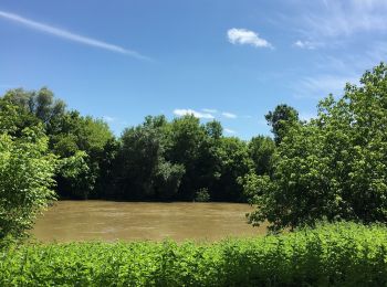
Walking


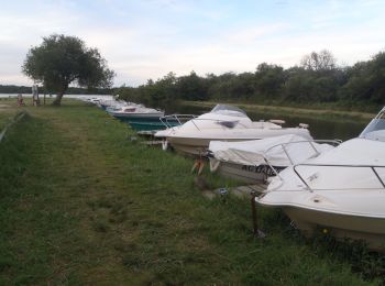
Walking
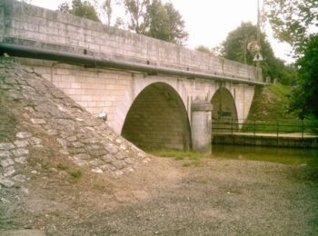
Running
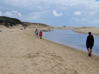
Walking
Walking

Walking
Walking
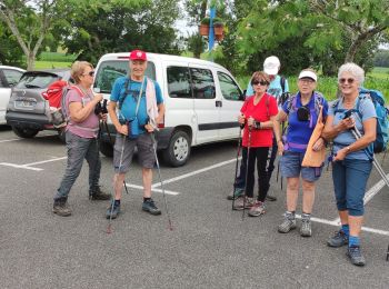
Walking
Walking

Walking
• Entre forêt et lac. Départ et arrivés sont dans un camping fermé, mais il existe un chemin accessible quelques mètre...
Walking

Walking
Walking
Walking
Walking
Walking

Walking
Walking
Walking
Walking
20 trails displayed on 1440
FREE GPS app for hiking
 SityTrail
IGN / Geographical institutes
SityTrail World
The world is yours!