Cette-Eygun, Pyrénées-Atlantiques, On foot: Best trails, routes and walks

1 comments

Cette-Eygun: Discover the best trails: 5 on foot and 4 walking. All these trails, routes and outdoor activities are available in our SityTrail applications for smartphones and tablets.


The best trails (9)
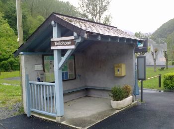
Trail On foot Cette-Eygun - Granges de Cette asp56 - Photo
On foot 5.4
Km
GUIDE+

On foot

Easy
Cette-Eygun, New Aquitaine, Pyrénées-Atlantiques, France
5.4 km | 10.2 km-effort
2h 18min
360 m
357 m
Yes
SityTrail - itinéraires balisés pédestres

• Trail created by Communauté de Communes du Haut-Béarn. Randonnée facile 2h40 boucle Website: https://umap.openstr...

Trail On foot Cette-Eygun - Cabane de Lhèze asp116 - Photo
On foot 3.58
Km
GUIDE+

On foot

Easy
Cette-Eygun, New Aquitaine, Pyrénées-Atlantiques, France
3.6 km | 9.7 km-effort
2h 11min
608 m
1 m
No
SityTrail - itinéraires balisés pédestres

• Trail created by Commune de Cette-Eygun. Randonnée moyenne 4h20 aller-retour Website: https://umap.openstreetmap....

Trail On foot Cette-Eygun - Cabanes de Narbèze asp117 - Photo
On foot 6.531
Km
GUIDE+

On foot

Easy
Cette-Eygun, New Aquitaine, Pyrénées-Atlantiques, France
6.5 km | 16.6 km-effort
3h 45min
997 m
15 m
No
SityTrail - itinéraires balisés pédestres

• Trail created by Commune de Cette-Eygun. Randonnée difficile 7h40 aller-retour Website: https://umap.openstreetma...
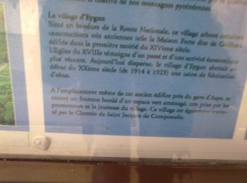
Trail On foot Cette-Eygun - Tour de Lasies asp115 - Photo
On foot 4.318
Km
GUIDE+

On foot

Easy
Cette-Eygun, New Aquitaine, Pyrénées-Atlantiques, France
4.3 km | 8.7 km-effort
1h 59min
356 m
259 m
No
SityTrail - itinéraires balisés pédestres

• Trail created by Commune de Cette-Eygun. Randonnée facile 2h15 semi-boucle Symbol: bar Website: https://umap.open...

Trail On foot Cette-Eygun - Panorama de Narbissat asp57 - Photo
On foot 3.28
Km
GUIDE+

On foot

Easy
Cette-Eygun, New Aquitaine, Pyrénées-Atlantiques, France
3.3 km | 9.3 km-effort
2h 6min
595 m
10 m
No
SityTrail - itinéraires balisés pédestres

• Trail created by Communauté de Communes du Haut-Béarn. Randonnée moyenne 4h00 aller-retour Website: https://umap....
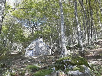
Trail Walking Cette-Eygun - Cette: Cabane de Sabas et col de Pène Blanque - Photo
Walking 6.819
Km

Walking

Difficult
Cette-Eygun, New Aquitaine, Pyrénées-Atlantiques, France
6.8 km | 14 km-effort
3h 32min
537 m
542 m
Yes
bedous

Trail Walking Cette-Eygun - Chemin d'Arna - Photo
Walking 5.401
Km

Walking

Medium
(1)
Cette-Eygun, New Aquitaine, Pyrénées-Atlantiques, France
5.4 km | 10.1 km-effort
1h 58min
351 m
357 m
Yes
bedous

Trail Walking Cette-Eygun - PIC ANCHE 9 MAI 2023 PRENDRE A GAUCHE BELLE CABANE  BIVOUAC - Photo
Walking 15.248
Km

Walking

Very difficult
Cette-Eygun, New Aquitaine, Pyrénées-Atlantiques, France
15.2 km | 32 km-effort
7h 12min
1291 m
1291 m
Yes
bellocq

Trail Walking Cette-Eygun - rando jeudi aarapoup - Photo
Walking 2.853
Km

Walking

Medium
Cette-Eygun, New Aquitaine, Pyrénées-Atlantiques, France
2.9 km | 7.9 km-effort
1h 58min
502 m
6 m
No
olivierGPS

9 trails displayed on 9

FREE GPS app for hiking

Logo SityTrail SityTrail

IGN / Geographical institutes

Download SityTrail from the App Store Download SityTrail from Google Play

Logo SityTrail SityTrail World

The world is yours!

Download SityTrail from the App Store Download SityTrail from Google Play Download SityTrail on Huawei AppGallery

Activities

Close
My subscriptions