


3.1 km | 8.2 km-effort
Beyrède-Jumet-Camous: Discover the best trails: 1 on foot, 19 walking and 1 running. All these trails, routes and outdoor activities are available in our SityTrail applications for smartphones and tablets.
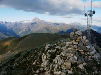
Walking


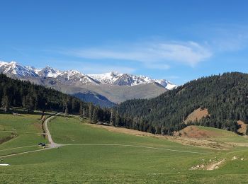
Walking
• Accès voiture: De Campan à Ste Marie de Campan, puis direction col d'Aspin. 2 km après la Séoube, juste en dessous du...
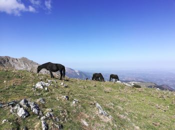
Walking
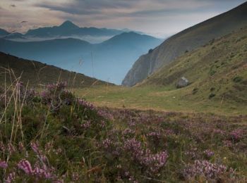
Walking
Running
Walking
Walking
Walking
Walking
Walking
Walking
Walking
Walking

On foot
Walking
Walking
Walking
Walking
Walking
Walking
20 trails displayed on 21
FREE GPS app for hiking
 SityTrail
IGN / Geographical institutes
SityTrail World
The world is yours!