Bagnères-de-Bigorre, Hautespyrenees, On foot: Best trails, routes and walks

16 comments

Bagnères-de-Bigorre: Discover the best trails: 8 on foot, 193 walking and 1 running. All these trails, routes and outdoor activities are available in our SityTrail applications for smartphones and tablets.


The best trails (202)

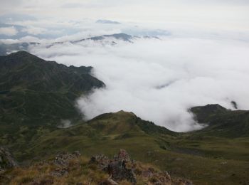
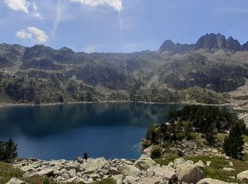
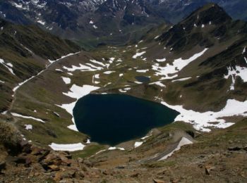
Trail Walking Bagnères-de-Bigorre - Le pic de Montaigu - Photo
Walking 8.995
Km

Walking

Difficult
(1)
Bagnères-de-Bigorre, Occitania, Hautespyrenees, France
9 km | 25 km-effort
6h 0min
1165 m
1164 m
Yes
tracegps

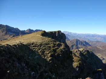
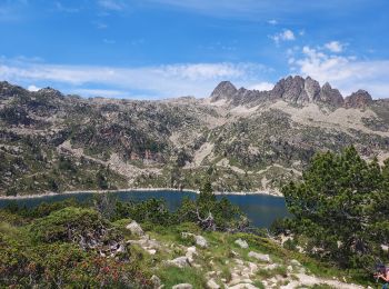
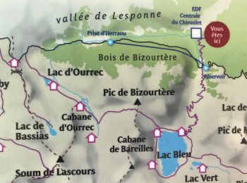
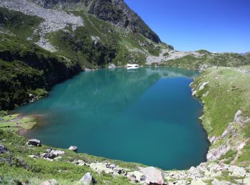
Trail Walking Bagnères-de-Bigorre - Lac Bleu et pic de Bizourtère (2311m)  - Photo
Walking 14.995
Km

Walking

Difficult
(1)
Bagnères-de-Bigorre, Occitania, Hautespyrenees, France
15 km | 32 km-effort
5h 0min
1246 m
1242 m
Yes
tracegps

Trail Walking Bagnères-de-Bigorre - LESPONNE courtaou  de la lit G3 B fait le 12/06/2020 - Photo
Walking 6.162
Km
GUIDE

Walking

Medium
Bagnères-de-Bigorre, Occitania, Hautespyrenees, France
6.2 km | 12.1 km-effort
4h 28min
448 m
448 m
Yes
marmotte65

Trail Walking Bagnères-de-Bigorre - FEU 2015 - Etape 5 - Photo
Walking 18.193
Km

Walking

Easy
(1)
Bagnères-de-Bigorre, Occitania, Hautespyrenees, France
18.2 km | 30 km-effort
6h 29min
983 m
665 m
No
Blavis

Trail Walking Bagnères-de-Bigorre - Lac de Gréziolles - Photo
Walking 10.778
Km

Walking

Medium
Bagnères-de-Bigorre, Occitania, Hautespyrenees, France
10.8 km | 21 km-effort
4h 1min
742 m
742 m
Yes
HANUCIL

Trail Walking Bagnères-de-Bigorre - Gerde - Photo
Walking 9.711
Km

Walking

Easy
Bagnères-de-Bigorre, Occitania, Hautespyrenees, France
9.7 km | 12.2 km-effort
2h 49min
184 m
184 m
Yes
Laigneville159-

Trail Walking Bagnères-de-Bigorre - Le lac bleu et le lac outrec - Photo
Walking 28.441
Km

Walking

Very difficult
Bagnères-de-Bigorre, Occitania, Hautespyrenees, France
28 km | 65 km-effort
7h 13min
2595 m
3112 m
No
fred47

Trail Walking Bagnères-de-Bigorre - etg bleu-col de bareille-pic bizoutère-lac d'Ourec depuis le Chiroulet - Photo
Walking 15.995
Km

Walking

Medium
Bagnères-de-Bigorre, Occitania, Hautespyrenees, France
16 km | 33 km-effort
7h 42min
1257 m
1252 m
Yes
chrisgps

Trail Walking Bagnères-de-Bigorre - Le montaigu - Photo
Walking 9.318
Km
GUIDE

Walking

Difficult
Bagnères-de-Bigorre, Occitania, Hautespyrenees, France
9.3 km | 25 km-effort
7h 41min
1154 m
1167 m
Yes
lhomme.ph

Trail On foot Bagnères-de-Bigorre - Le Lac de Peyrelade - Photo
On foot 7.476
Km
GUIDE+

On foot

Easy
Bagnères-de-Bigorre, Occitania, Hautespyrenees, France
7.5 km | 15.9 km-effort
3h 37min
640 m
621 m
No
SityTrail - itinéraires balisés pédestres

Trail On foot Bagnères-de-Bigorre - ARTIGUES à  PAYOLLE g4 fait
On foot 9.922
Km
GUIDE

On foot

Easy
Bagnères-de-Bigorre, Occitania, Hautespyrenees, France
9.9 km | 13.3 km-effort
4h 46min
225 m
351 m
No
marmotte65

Trail Walking Bagnères-de-Bigorre - tourmalet G2 heit  - Photo
Walking 5.537
Km

Walking

Very easy
Bagnères-de-Bigorre, Occitania, Hautespyrenees, France
5.5 km | 11.6 km-effort
6h 37min
455 m
458 m
Yes
LouisROGER

Trail Walking Bagnères-de-Bigorre - Le pic du Midi de Bigorre - Photo
Walking 13.429
Km

Walking

Difficult
Bagnères-de-Bigorre, Occitania, Hautespyrenees, France
13.4 km | 24 km-effort
3h 40min
780 m
783 m
Yes
chasle

Trail Walking Bagnères-de-Bigorre - Le Cap de Labasset et le lac de Peyrelade - Photo
Walking 9.778
Km

Walking

Medium
Bagnères-de-Bigorre, Occitania, Hautespyrenees, France
9.8 km | 20 km-effort
6h 0min
764 m
768 m
Yes
tracegps

Trail Walking Bagnères-de-Bigorre - Le lac Bleu et le Pic de Merlheu - Le Chiroulet - Photo
Walking 18.697
Km

Walking

Difficult
Bagnères-de-Bigorre, Occitania, Hautespyrenees, France
18.7 km | 40 km-effort
9h 15min
1589 m
1589 m
Yes
tracegps

Trail Walking Bagnères-de-Bigorre - tour du castelmouly - Photo
Walking 12.662
Km

Walking

Easy
(2)
Bagnères-de-Bigorre, Occitania, Hautespyrenees, France
12.7 km | 20 km-effort
4h 3min
554 m
558 m
Yes
Martinet.Claude

• grand tour croix de manse

Trail Walking Bagnères-de-Bigorre - Circuit des Lacs entre la Mongie et Barèges - 3 jours dans le Néouvielle - Photo
Walking 31.157
Km

Walking

Medium
Bagnères-de-Bigorre, Occitania, Hautespyrenees, France
31 km | 58 km-effort
78h 0min
2011 m
1983 m
No
tracegps

Trail Walking Bagnères-de-Bigorre - Le pic du Midi de Bigorre - Photo
Walking 13.428
Km

Walking

Difficult
(2)
Bagnères-de-Bigorre, Occitania, Hautespyrenees, France
13.4 km | 24 km-effort
3h 40min
780 m
783 m
Yes
tracegps

Trail Walking Bagnères-de-Bigorre - Rando Le Monné - Photo
Walking 21.759
Km

Walking

Medium
Bagnères-de-Bigorre, Occitania, Hautespyrenees, France
22 km | 35 km-effort
5h 16min
963 m
962 m
Yes
Fab-Oz

Trail Walking Bagnères-de-Bigorre - G2 articles lac de grezillard - Photo
Walking 10.439
Km

Walking

Very difficult
Bagnères-de-Bigorre, Occitania, Hautespyrenees, France
10.4 km | 20 km-effort
7h 18min
737 m
733 m
Yes
LouisROGER

20 trails displayed on 202

FREE GPS app for hiking

Logo SityTrail SityTrail

IGN / Geographical institutes

Download SityTrail from the App Store Download SityTrail from Google Play

Logo SityTrail SityTrail World

The world is yours!

Download SityTrail from the App Store Download SityTrail from Google Play Download SityTrail on Huawei AppGallery

Activities

Close
My subscriptions