


12.5 km | 21 km-effort
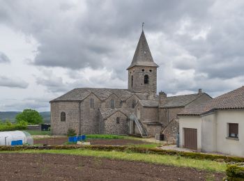
Peyreleau: Discover the best trails: 3 on foot, 34 walking, 2 nordic walking and 1 running. All these trails, routes and outdoor activities are available in our SityTrail applications for smartphones and tablets.
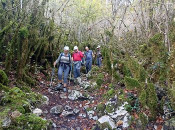
Walking


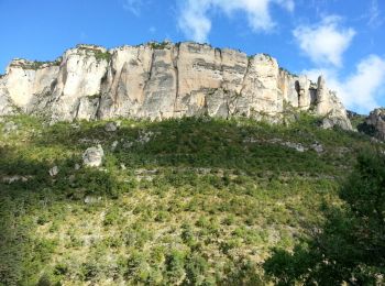
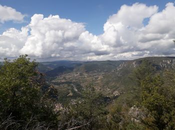
• Grands Causses - Peyreleau - Corniches du Causse Noir- 2016 09 06 - dej 1h00
Walking
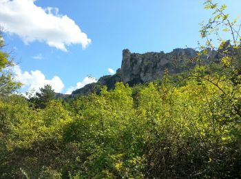
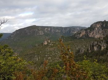
• Départ de Peyreleau - Gorges de la Jonte

Walking
Walking

Nordic walking
Walking
On foot

Walking
Walking
Walking
Walking
Walking

Walking

On foot
Walking
Walking
• Robert Barto
Walking
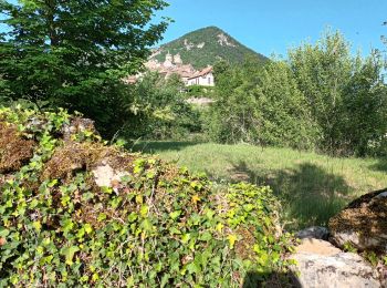
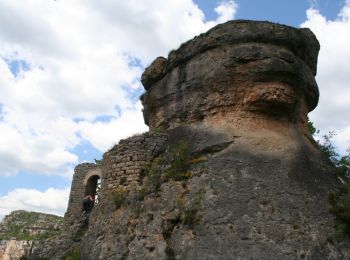
• hameau des Rouquets Ermitage Saint Michel Champignon Préhistorique et cirque de Madasse
Walking
• hameau des Rouquets Ermitage Saint Michel Champignon Préhistorique et cirque de Madasse
Walking
Walking
• 25/05/2015
20 trails displayed on 40
FREE GPS app for hiking
 SityTrail
IGN / Geographical institutes
SityTrail World
The world is yours!