


17.8 km | 28 km-effort
Taussac: Discover the best trails: 1 on foot and 11 walking. All these trails, routes and outdoor activities are available in our SityTrail applications for smartphones and tablets.
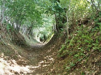
Walking


Walking

Walking
• familiale et ludique
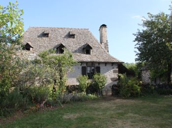
Walking
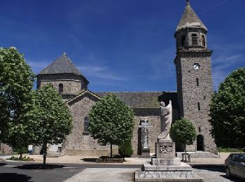
Walking
• Carladez nord Aveyron. Le tour du ruisseau d'Embernat

Walking
Walking
Walking
Walking

On foot
Walking
Walking
12 trails displayed on 12
FREE GPS app for hiking
 SityTrail
IGN / Geographical institutes
SityTrail World
The world is yours!