


11.2 km | 22 km-effort
Suc-et-Sentenac: Discover the best trails: 22 walking and 2 running. All these trails, routes and outdoor activities are available in our SityTrail applications for smartphones and tablets.
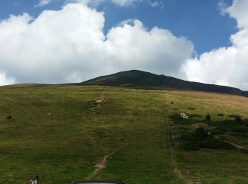
Walking


• Belle rando. Bivouac possible près du lac. Chemin facile mais attention à la descente sur les crêtes ne pas s écarter...
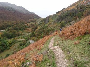
Walking
• OK

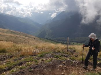
Walking

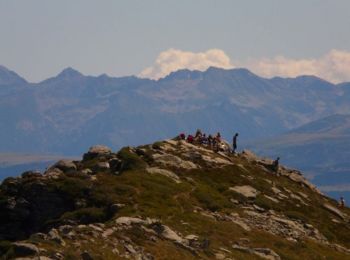
Walking
Walking
Walking
Walking
Walking
Walking
• Si la première partie jusqu'au Lac est facile, il ne faut pas sous estimer la montée au pic des trois seigneurs qui e...

Running
Walking
Walking
Walking
Walking
Walking
Walking
Walking
Walking
Walking
Walking
20 trails displayed on 24
FREE GPS app for hiking
 SityTrail
IGN / Geographical institutes
SityTrail World
The world is yours!