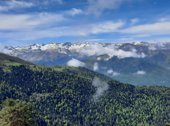
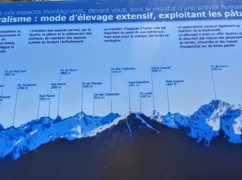
Sode, Haute-Garonne, On foot: Best trails, routes and walks

Sode: Discover the best trails: 9 walking. All these trails, routes and outdoor activities are available in our SityTrail applications for smartphones and tablets.


The best trails (9)
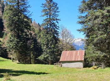
Trail Walking Sode - cabane de Plan Pouné, par refuge de Cualot - Photo
Walking 9.831
Km

Walking

Very difficult
Sode, Occitania, Haute-Garonne, France
9.8 km | 19.5 km-effort
4h 26min
727 m
723 m
Yes
chrisgps

Trail Walking Sode - Le tuc de Pouĵastou en boucle depuis le belvédère de Sode - Photo
Walking 14.943
Km
GUIDE

Walking

Medium
Sode, Occitania, Haute-Garonne, France
14.9 km | 30 km-effort
7h 24min
1167 m
1166 m
Yes
lhomme.ph

Trail Walking Sode - Grange de Sarrazans - Photo
Walking 7.032
Km

Walking

Easy
Sode, Occitania, Haute-Garonne, France
7 km | 11.1 km-effort
2h 16min
303 m
301 m
Yes
Z'ABC

Trail Walking Sode - Sode -Artigue - Photo
Walking 9.27
Km

Walking

Very easy
Sode, Occitania, Haute-Garonne, France
9.3 km | 17.6 km-effort
3h 7min
629 m
608 m
No
(null) (null)2d73a32012fbb405f85d3457f10971c41

Trail Walking Sode - 2023-03-18_15h35m53_SityTrail - 1114897 - sommet-de-prat-pardin- - Photo
Walking 13.441
Km

Walking

Difficult
Sode, Occitania, Haute-Garonne, France
13.4 km | 29 km-effort
6h 41min
1205 m
1187 m
Yes
chrisgps

• départ du belvédère de Sode - long circuit en boucle en boucle via l crête frontalière

Trail Walking Sode - sommet de Prat Pardin  - Photo
Walking 13.441
Km

Walking

Difficult
Sode, Occitania, Haute-Garonne, France
13.4 km | 29 km-effort
6h 6min
1205 m
1187 m
Yes
chrisgps

• belvédère de Sode en boucle

Trail Walking Sode - Tuc de Bidur - Photo
Walking 13.986
Km

Walking

Medium
Sode, Occitania, Haute-Garonne, France
14 km | 31 km-effort
5h 14min
1304 m
1304 m
Yes
OUSSET

Trail Walking Sode - monbajou - Photo
Walking 15.817
Km

Walking

Very difficult
Sode, Occitania, Haute-Garonne, France
15.8 km | 30 km-effort
9h 10min
1094 m
1081 m
Yes
Jeanne Pene

Trail Walking Sode - Sode Cabane de Cueou en boucle  - Photo
Walking 9.453
Km

Walking

Easy
Sode, Occitania, Haute-Garonne, France
9.5 km | 18.1 km-effort
3h 33min
645 m
645 m
Yes
marie-didi

9 trails displayed on 9

FREE GPS app for hiking

Logo SityTrail SityTrail

IGN / Geographical institutes

Download SityTrail from the App Store Download SityTrail from Google Play

Logo SityTrail SityTrail World

The world is yours!

Download SityTrail from the App Store Download SityTrail from Google Play Download SityTrail on Huawei AppGallery

Activities

Close
My subscriptions