


7 km | 9.6 km-effort
Ayguatébia-Talau: Discover the best trails: 17 walking. All these trails, routes and outdoor activities are available in our SityTrail applications for smartphones and tablets.
Walking


Walking
Walking

Walking

Walking
Walking
Walking
Walking
Walking
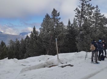
• Facile et très bien balisé pour les raquettes
Walking
• Facile et très bien balisé pour les raquettes
Walking
Walking
Walking
Walking
Walking
Walking
Walking
17 trails displayed on 17
FREE GPS app for hiking
 SityTrail
IGN / Geographical institutes
SityTrail World
The world is yours!