Rougon, Alpes-de-Haute-Provence, On foot: Best trails, routes and walks

10 comments

Rougon: Discover the best trails: 5 on foot, 49 walking and 1 nordic walking. All these trails, routes and outdoor activities are available in our SityTrail applications for smartphones and tablets.


The best trails (55)

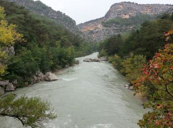
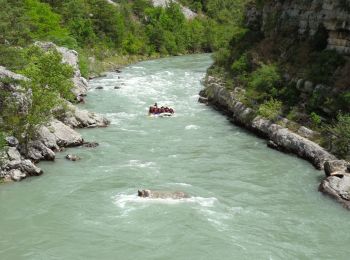
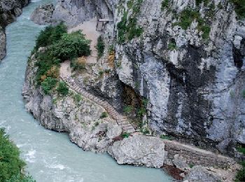
Trail Walking Rougon - Gorges du Verdon - de Point Sublime vers Encastel - AR - Photo
Walking 9.344
Km
GUIDE

Walking

Medium
(2)
Rougon, Provence-Alpes-Côte d'Azur, Alpes-de-Haute-Provence, France
9.3 km | 18.6 km-effort
3h 15min
698 m
695 m
Yes
Orcal37

• Gorges du Verdon - de Point Sublime vers Encastel - AR ; jour de pluie
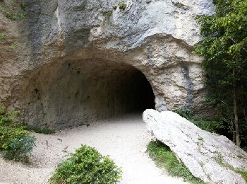
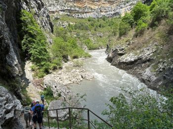
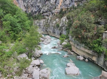
Trail Walking Rougon - Sentier Martel.Gorges du Verdon.06 05 16 - Photo
Walking 12.149
Km

Walking

Medium
(3)
Rougon, Provence-Alpes-Côte d'Azur, Alpes-de-Haute-Provence, France
12.1 km | 26 km-effort
6h 20min
1046 m
949 m
No
Dervalmarc

• Cette superbe rando,balisée rouge et blanc,est devenue la classique des gorges.Tantôt en balcon,tantôt près du cours ...
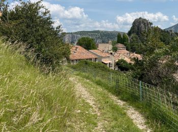
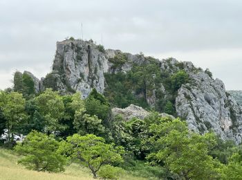
Trail Walking Rougon - Mourre du chanier par rougon Réél - Photo
Walking 18.738
Km
GUIDE

Walking

Very difficult
Rougon, Provence-Alpes-Côte d'Azur, Alpes-de-Haute-Provence, France
18.7 km | 34 km-effort
7h 41min
1131 m
1131 m
Yes
jouans

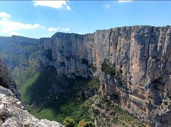
Trail Walking Rougon - Point sublime Verdon Blanc Martel 12 km - Photo
Walking 12.345
Km
GUIDE

Walking

Very difficult
Rougon, Provence-Alpes-Côte d'Azur, Alpes-de-Haute-Provence, France
12.3 km | 24 km-effort
5h 32min
906 m
903 m
Yes
rvapeldo

Trail Walking Rougon - 2023-02-24 Pont de Tusset - Rancoumas - Entreverges  - Photo
Walking 10.811
Km
GUIDE

Walking

Medium
Rougon, Provence-Alpes-Côte d'Azur, Alpes-de-Haute-Provence, France
10.8 km | 19.8 km-effort
6h 48min
676 m
676 m
Yes
Kargil

Trail Walking Rougon - couloir Samson en boucle  - Photo
Walking 28.18
Km

Walking

Very difficult
Rougon, Provence-Alpes-Côte d'Azur, Alpes-de-Haute-Provence, France
28 km | 48 km-effort
5h 57min
1503 m
1502 m
Yes
tchoua

Trail Walking Rougon - Le Mourre du Chanier depuis Rougon - Photo
Walking 18.278
Km

Walking

Difficult
Rougon, Provence-Alpes-Côte d'Azur, Alpes-de-Haute-Provence, France
18.3 km | 34 km-effort
6h 0min
1177 m
1179 m
Yes
ETMU5496

Trail Walking Rougon - Rancoumas - Photo
Walking 7.438
Km

Walking

Medium
Rougon, Provence-Alpes-Côte d'Azur, Alpes-de-Haute-Provence, France
7.4 km | 14.5 km-effort
2h 41min
534 m
531 m
Yes
MarcLEBARON

Trail Walking Rougon - TM-Rougon : Mourre du Chanier - Photo
Walking 18.664
Km

Walking

Difficult
Rougon, Provence-Alpes-Côte d'Azur, Alpes-de-Haute-Provence, France
18.7 km | 34 km-effort
5h 21min
1138 m
1139 m
Yes
ETMU5496

Trail Walking Rougon - Point Sublime-Belvédère de Rancoumas - Photo
Walking 3.362
Km

Walking

Medium
(1)
Rougon, Provence-Alpes-Côte d'Azur, Alpes-de-Haute-Provence, France
3.4 km | 7.4 km-effort
1h 41min
349 m
169 m
No
JJRikly

Trail Walking Rougon - GR4 Jour 8 Rougon - Les Cavaliers 24-05-2021 - Photo
Walking 13.474
Km

Walking

Very difficult
Rougon, Provence-Alpes-Côte d'Azur, Alpes-de-Haute-Provence, France
13.5 km | 28 km-effort
6h 15min
1059 m
1045 m
No
Aux croisées des GR

Trail Walking Rougon - GR4 Jour 7 Rougon - Le Mourre de Chanier 23-05-2021 - Photo
Walking 18.585
Km

Walking

Very difficult
Rougon, Provence-Alpes-Côte d'Azur, Alpes-de-Haute-Provence, France
18.6 km | 34 km-effort
6h 54min
1162 m
1162 m
Yes
Aux croisées des GR

Trail Walking Rougon - rougon gr49 pont de carajuan - Photo
Walking 14.494
Km

Walking

Medium
Rougon, Provence-Alpes-Côte d'Azur, Alpes-de-Haute-Provence, France
14.5 km | 27 km-effort
6h 4min
911 m
903 m
Yes
mathilde83

Trail On foot Rougon - PVTzYOz1HRg - Photo
On foot 28.676
Km

On foot

Difficult
Rougon, Provence-Alpes-Côte d'Azur, Alpes-de-Haute-Provence, France
29 km | 54 km-effort
7h 0min
1872 m
1872 m
Yes
ampory

Trail Walking Rougon - plateau du suech - Photo
Walking 9.971
Km

Walking

Very easy
(1)
Rougon, Provence-Alpes-Côte d'Azur, Alpes-de-Haute-Provence, France
10 km | 15.4 km-effort
3h 35min
411 m
409 m
Yes
Cathy del vecchio

Trail Walking Rougon - SityTrail - Gorges Verdon - Photo
Walking 29.56
Km

Walking

Very difficult
Rougon, Provence-Alpes-Côte d'Azur, Alpes-de-Haute-Provence, France
30 km | 56 km-effort
11h 56min
1971 m
1971 m
Yes
ramagufa

Trail Walking Rougon - Sentier Martel partiel - Photo
Walking 12.726
Km

Walking

Easy
Rougon, Provence-Alpes-Côte d'Azur, Alpes-de-Haute-Provence, France
12.7 km | 27 km-effort
5h 30min
1088 m
1074 m
Yes
Migueldefrance

Trail Walking Rougon - randonnée Antoine - Photo
Walking 12.028
Km

Walking

Very difficult
Rougon, Provence-Alpes-Côte d'Azur, Alpes-de-Haute-Provence, France
12 km | 21 km-effort
6h 36min
661 m
662 m
Yes
vincente204

Trail Walking Rougon - sentier Martel aller - Photo
Walking 16.525
Km

Walking

Very difficult
Rougon, Provence-Alpes-Côte d'Azur, Alpes-de-Haute-Provence, France
16.5 km | 37 km-effort
4h 41min
1580 m
1475 m
No
GSananes

Trail Walking Rougon - Rougon - Villars Brandis - Photo
Walking 12.681
Km

Walking

Difficult
Rougon, Provence-Alpes-Côte d'Azur, Alpes-de-Haute-Provence, France
12.7 km | 20 km-effort
4h 30min
565 m
516 m
No
soca

20 trails displayed on 55

FREE GPS app for hiking

Logo SityTrail SityTrail

IGN / Geographical institutes

Download SityTrail from the App Store Download SityTrail from Google Play

Logo SityTrail SityTrail World

The world is yours!

Download SityTrail from the App Store Download SityTrail from Google Play Download SityTrail on Huawei AppGallery

Activities

Close
My subscriptions