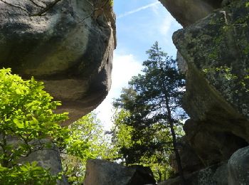
Annot, Alpes-de-Haute-Provence, On foot: Best trails, routes and walks

9 comments

Annot: Discover the best trails: 11 on foot, 66 walking and 1 trail. All these trails, routes and outdoor activities are available in our SityTrail applications for smartphones and tablets.


The best trails (77)

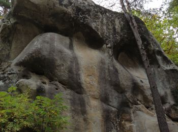
Trail On foot Annot - Le Grès d'Annot - Photo
On foot 5.924
Km
GUIDE+

On foot

Easy
Annot, Provence-Alpes-Côte d'Azur, Alpes-de-Haute-Provence, France
5.9 km | 10.9 km-effort
2h 28min
372 m
372 m
Yes
SityTrail - itinéraires balisés pédestres

• Trail created by Département des Alpes-de-Haute-Provence. Website: https://www.rando-alpes-haute-provence.fr/rando...
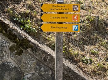
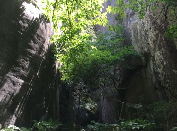
Trail Walking Annot - J4 Annot - Photo
Walking 6.237
Km

Walking

Medium
Annot, Provence-Alpes-Côte d'Azur, Alpes-de-Haute-Provence, France
6.2 km | 11.3 km-effort
2h 34min
382 m
382 m
Yes
ETMU5496

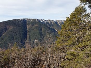
Trail Walking Annot - Les Grès d'Annot - Photo
Walking 5.814
Km

Walking

Medium
Annot, Provence-Alpes-Côte d'Azur, Alpes-de-Haute-Provence, France
5.8 km | 10.8 km-effort
2h 9min
375 m
375 m
Yes
LtZIP

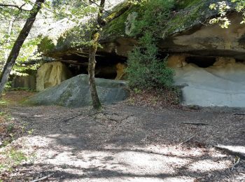
Trail Walking Annot - Rando gastro Roncharel - Photo
Walking 5.774
Km

Walking

Medium
Annot, Provence-Alpes-Côte d'Azur, Alpes-de-Haute-Provence, France
5.8 km | 11.9 km-effort
2h 42min
607 m
29 m
No
Marchopier

Trail Walking Annot - Les grès d'Annot - Photo
Walking 11.531
Km

Walking

Medium
(1)
Annot, Provence-Alpes-Côte d'Azur, Alpes-de-Haute-Provence, France
11.5 km | 19.2 km-effort
6h 2min
572 m
572 m
Yes
Thierryrando06

Trail Walking Annot - Rando bleue - Photo
Walking 3.883
Km

Walking

Easy
Annot, Provence-Alpes-Côte d'Azur, Alpes-de-Haute-Provence, France
3.9 km | 5.8 km-effort
1h 22min
146 m
147 m
Yes
Marchopier

Trail Walking Annot - Grès d'Annot  Carte IGN  3541OT - Photo
Walking 11.347
Km

Walking

Medium
Annot, Provence-Alpes-Côte d'Azur, Alpes-de-Haute-Provence, France
11.3 km | 21 km-effort
7h 23min
704 m
702 m
Yes
domi06

Trail Walking Annot - Les grès d'Annot-20-05-22 - Photo
Walking 6.756
Km

Walking

Medium
Annot, Provence-Alpes-Côte d'Azur, Alpes-de-Haute-Provence, France
6.8 km | 12.4 km-effort
2h 20min
417 m
430 m
No
Christiancordin

Trail Walking Annot - LES GRÈS D'ANNOT - Photo
Walking 5.652
Km

Walking

Medium
Annot, Provence-Alpes-Côte d'Azur, Alpes-de-Haute-Provence, France
5.7 km | 11.1 km-effort
4h 1min
404 m
420 m
No
michelpaulin

Trail On foot Annot - Baou de Parou - Photo
On foot 5.477
Km
GUIDE+

On foot

Easy
Annot, Provence-Alpes-Côte d'Azur, Alpes-de-Haute-Provence, France
5.5 km | 11.1 km-effort
2h 31min
420 m
420 m
Yes
SityTrail - itinéraires balisés pédestres

• Trail created by Département des Alpes-de-Haute-Provence. Website: https://www.rando-alpes-haute-provence.fr/rando...
Trail Walking Annot - Croix de Braux Col de Pelloussis - Photo
Walking 13.38
Km

Walking

Difficult
Annot, Provence-Alpes-Côte d'Azur, Alpes-de-Haute-Provence, France
13.4 km | 23 km-effort
7h 18min
748 m
747 m
Yes
Marchopier

Trail Walking Annot - Les grés d'Annot: Jardins et chambre du Roi - Photo
Walking 8.723
Km

Walking

Medium
Annot, Provence-Alpes-Côte d'Azur, Alpes-de-Haute-Provence, France
8.7 km | 14.3 km-effort
3h 1min
421 m
420 m
Yes
lviallet

Trail Walking Annot - Chapelle St Pierre  - Photo
Walking 8.743
Km

Walking

Very easy
Annot, Provence-Alpes-Côte d'Azur, Alpes-de-Haute-Provence, France
8.7 km | 16.2 km-effort
3h 52min
598 m
451 m
No
Gib04

Trail Walking Annot - Annot Chambre du roi Portettes - Photo
Walking 17.148
Km

Walking

Medium
Annot, Provence-Alpes-Côte d'Azur, Alpes-de-Haute-Provence, France
17.1 km | 28 km-effort
7h 0min
824 m
823 m
Yes
GrouGary

Trail Walking Annot - gres annot - Photo
Walking 10.656
Km

Walking

Medium
(1)
Annot, Provence-Alpes-Côte d'Azur, Alpes-de-Haute-Provence, France
10.7 km | 19.4 km-effort
4h 13min
660 m
658 m
Yes
bernir

Trail Walking Annot - Grès d'Annot - Photo
Walking 5.537
Km

Walking

Easy
(2)
Annot, Provence-Alpes-Côte d'Azur, Alpes-de-Haute-Provence, France
5.5 km | 10.5 km-effort
2h 27min
372 m
370 m
Yes
soca

Trail Walking Annot - Grès d'Annot - Photo
Walking 9.236
Km

Walking

Easy
(1)
Annot, Provence-Alpes-Côte d'Azur, Alpes-de-Haute-Provence, France
9.2 km | 16.9 km-effort
3h 46min
579 m
577 m
Yes
xelot

Trail Walking Annot - Grès Annot - Photo
Walking 6.925
Km

Walking

Easy
Annot, Provence-Alpes-Côte d'Azur, Alpes-de-Haute-Provence, France
6.9 km | 12.6 km-effort
4h 53min
424 m
434 m
No
mc3c

• facile

Trail Walking Annot - Les grès d''Annot - Photo
Walking 5.962
Km

Walking

Medium
(3)
Annot, Provence-Alpes-Côte d'Azur, Alpes-de-Haute-Provence, France
6 km | 11.4 km-effort
3h 0min
407 m
410 m
Yes
tracegps

Trail Walking Annot - Braux Chabrieres Pelloussis  - Photo
Walking 21.239
Km

Walking

Medium
Annot, Provence-Alpes-Côte d'Azur, Alpes-de-Haute-Provence, France
21 km | 36 km-effort
6h 58min
1134 m
1133 m
Yes
Marchopier

20 trails displayed on 77

FREE GPS app for hiking

Logo SityTrail SityTrail

IGN / Geographical institutes

Download SityTrail from the App Store Download SityTrail from Google Play

Logo SityTrail SityTrail World

The world is yours!

Download SityTrail from the App Store Download SityTrail from Google Play Download SityTrail on Huawei AppGallery

Activities

Close
My subscriptions