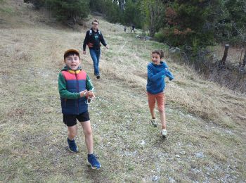
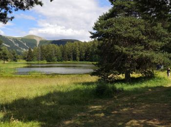
Bayons, Alpes-de-Haute-Provence, On foot: Best trails, routes and walks

4 comments

Bayons: Discover the best trails: 1 on foot and 43 walking. All these trails, routes and outdoor activities are available in our SityTrail applications for smartphones and tablets.


The best trails (44)
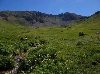
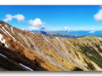
Trail Walking Bayons - Le sommet des Monges - Bayons - Photo
Walking 13.302
Km

Walking

Very difficult
(1)
Bayons, Provence-Alpes-Côte d'Azur, Alpes-de-Haute-Provence, France
13.3 km | 22 km-effort
5h 0min
653 m
653 m
Yes
tracegps

Trail Walking Bayons - Clot Ginoux via Grande Gineste - Photo
Walking 16.379
Km

Walking

Very difficult
Bayons, Provence-Alpes-Côte d'Azur, Alpes-de-Haute-Provence, France
16.4 km | 33 km-effort
6h 56min
1215 m
1216 m
Yes
PapouBertrand

Trail Walking Bayons - BAYONS  . col des Sagnes , Peyrouret , Picouse , bergerie de Gautiere , Piaure , Giaire n - Photo
Walking 12.404
Km
GUIDE

Walking

Medium
Bayons, Provence-Alpes-Côte d'Azur, Alpes-de-Haute-Provence, France
12.4 km | 21 km-effort
3h 41min
645 m
649 m
Yes
RobinMicheline

Trail Walking Bayons - Move - Photo
Walking 16.238
Km

Walking

Easy
(1)
Bayons, Provence-Alpes-Côte d'Azur, Alpes-de-Haute-Provence, France
16.2 km | 26 km-effort
5h 24min
756 m
763 m
Yes
GAPIAN43

Trail Walking Bayons - Baudinard - Lac des Monges - Crête du Raus - Photo
Walking 15.815
Km

Walking

Medium
Bayons, Provence-Alpes-Côte d'Azur, Alpes-de-Haute-Provence, France
15.8 km | 28 km-effort
5h 30min
912 m
922 m
Yes
tracegps

Trail Walking Bayons - L'Oratoire - Bayons (Esparron la Bâtie) - Photo
Walking 15.844
Km

Walking

Difficult
Bayons, Provence-Alpes-Côte d'Azur, Alpes-de-Haute-Provence, France
15.8 km | 27 km-effort
6h 0min
850 m
853 m
Yes
tracegps

Trail Walking Bayons - Le Tour du Puy - Reynier  - Photo
Walking 9.283
Km

Walking

Difficult
(1)
Bayons, Provence-Alpes-Côte d'Azur, Alpes-de-Haute-Provence, France
9.3 km | 14.5 km-effort
3h 30min
393 m
393 m
Yes
tracegps

Trail Walking Bayons - Le chemin de fer de la Combe - Bayons - Photo
Walking 10.959
Km

Walking

Difficult
(1)
Bayons, Provence-Alpes-Côte d'Azur, Alpes-de-Haute-Provence, France
11 km | 14.1 km-effort
3h 30min
238 m
238 m
Yes
tracegps

Trail Walking Bayons - Rando Bayons 12-09-2022 - Photo
Walking 13.029
Km
GUIDE

Walking

Very difficult
Bayons, Provence-Alpes-Côte d'Azur, Alpes-de-Haute-Provence, France
13 km | 21 km-effort
4h 43min
582 m
576 m
Yes
RobinMicheline

• File with points/tracks from Locus Map/4.11.1
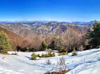
Trail Walking Bayons - Sommet de la Chanau - Photo
Walking 16.618
Km

Walking

Difficult
Bayons, Provence-Alpes-Côte d'Azur, Alpes-de-Haute-Provence, France
16.6 km | 30 km-effort
7h 7min
1015 m
1016 m
Yes
PapouBertrand

Trail Walking Bayons - ASTOUIN   le bois noir  o s - Photo
Walking 15.815
Km
GUIDE

Walking

Difficult
Bayons, Provence-Alpes-Côte d'Azur, Alpes-de-Haute-Provence, France
15.8 km | 26 km-effort
5h 57min
777 m
797 m
No
RobinMicheline

Trail Walking Bayons - 115-ESPARRON LA BATIE-L''Oratoire-Les Cimettes-La Laupie-Lac des Monges-Esparron - Photo
Walking 20.731
Km

Walking

Difficult
Bayons, Provence-Alpes-Côte d'Azur, Alpes-de-Haute-Provence, France
21 km | 36 km-effort
8h 0min
1182 m
1177 m
Yes
dumotier

Trail Walking Bayons - Le lac de Monges - Esparron la Batie  - Photo
Walking 12.21
Km

Walking

Difficult
Bayons, Provence-Alpes-Côte d'Azur, Alpes-de-Haute-Provence, France
12.2 km | 20 km-effort
3h 30min
617 m
617 m
Yes
tracegps

Trail Walking Bayons - Descente lac des Monges - Photo
Walking 10.584
Km

Walking

Easy
Bayons, Provence-Alpes-Côte d'Azur, Alpes-de-Haute-Provence, France
10.6 km | 13.3 km-effort
1h 34min
16 m
764 m
No
huguesb

Trail Walking Bayons - chemin du lac des Monges au sommet - Photo
Walking 2.681
Km

Walking

Easy
Bayons, Provence-Alpes-Côte d'Azur, Alpes-de-Haute-Provence, France
2.7 km | 4.9 km-effort
2h 19min
212 m
25 m
No
huguesb

Trail Walking Bayons - Le Col de Clapouse par les Monges - Photo
Walking 9.132
Km

Walking

Medium
Bayons, Provence-Alpes-Côte d'Azur, Alpes-de-Haute-Provence, France
9.1 km | 12.9 km-effort
4h 57min
281 m
282 m
Yes
PITOUSSAINT

Trail Walking Bayons - Lac des Monges - Photo
Walking 12.447
Km

Walking

Medium
Bayons, Provence-Alpes-Côte d'Azur, Alpes-de-Haute-Provence, France
12.4 km | 21 km-effort
4h 24min
650 m
646 m
Yes
rigol05

Trail Walking Bayons - Esparron-la-Bâtie - Photo
Walking 12.35
Km

Walking

Medium
Bayons, Provence-Alpes-Côte d'Azur, Alpes-de-Haute-Provence, France
12.3 km | 21 km-effort
4h 40min
622 m
622 m
Yes
nbietry

Trail Walking Bayons - Bayons jeudi 10 octobre 2024 - Photo
Walking 16.815
Km

Walking

Very difficult
Bayons, Provence-Alpes-Côte d'Azur, Alpes-de-Haute-Provence, France
16.8 km | 31 km-effort
7h 39min
1027 m
1129 m
No
rlebasque

Trail Walking Bayons - Bayons Reynier 10 octobre 2024  - Photo
Walking 11.385
Km

Walking

Very difficult
Bayons, Provence-Alpes-Côte d'Azur, Alpes-de-Haute-Provence, France
11.4 km | 23 km-effort
5h 8min
846 m
847 m
Yes
rlebasque

20 trails displayed on 44

FREE GPS app for hiking

Logo SityTrail SityTrail

IGN / Geographical institutes

Download SityTrail from the App Store Download SityTrail from Google Play

Logo SityTrail SityTrail World

The world is yours!

Download SityTrail from the App Store Download SityTrail from Google Play Download SityTrail on Huawei AppGallery

Activities

Nearby regions

Close
My subscriptions