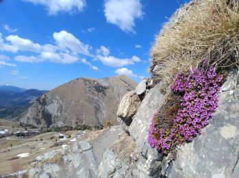
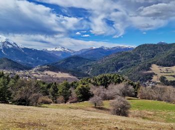
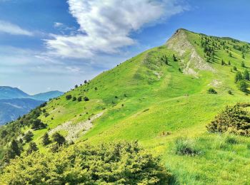
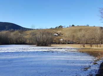
Le Vernet, Alpes-de-Haute-Provence, On foot: Best trails, routes and walks

3 comments

Le Vernet: Discover the best trails: 9 on foot and 15 walking. All these trails, routes and outdoor activities are available in our SityTrail applications for smartphones and tablets.


The best trails (24)

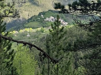
Trail Walking Le Vernet - VERNET    . col de Mariaud. Les 3 cabanes  o  - Photo
Walking 15.346
Km

Walking

Difficult
(1)
Le Vernet, Provence-Alpes-Côte d'Azur, Alpes-de-Haute-Provence, France
15.3 km | 24 km-effort
6h 2min
686 m
685 m
Yes
RobinMicheline

Trail Walking Le Vernet - grisonniere montagne ubac belliers960m 15kms  - Photo
Walking 14.233
Km
GUIDE

Walking

Difficult
Le Vernet, Provence-Alpes-Côte d'Azur, Alpes-de-Haute-Provence, France
14.2 km | 26 km-effort
7h 19min
861 m
861 m
Yes
Danielba

Trail Walking Le Vernet - LE VERNET . COL DU MAL D HIVER . COL DU LABOURET . O L M  - Photo
Walking 13.013
Km

Walking

Medium
(1)
Le Vernet, Provence-Alpes-Côte d'Azur, Alpes-de-Haute-Provence, France
13 km | 17.4 km-effort
3h 17min
330 m
331 m
Yes
RobinMicheline

Trail On foot Le Vernet - Boucle route des Béliers-Le col de Mariaud-Barre des Béliers-Col de la Grisonnière-Cabane du berger - Photo
On foot 8.392
Km

On foot

Easy
Le Vernet, Provence-Alpes-Côte d'Azur, Alpes-de-Haute-Provence, France
8.4 km | 16.3 km-effort
3h 42min
593 m
591 m
Yes
Monique14

Trail On foot Le Vernet - AR Roussimal- Vieille cabane- Cabane des Têtes- Val pousane - Photo
On foot 12.486
Km

On foot

Medium
Le Vernet, Provence-Alpes-Côte d'Azur, Alpes-de-Haute-Provence, France
12.5 km | 22 km-effort
5h 0min
717 m
717 m
Yes
Monique14

Trail On foot Le Vernet - Boucle Le Vernet-Le Haut Vernet-Le Vernet-Villevielle-Le Vernet - Photo
On foot 5.772
Km

On foot

Easy
Le Vernet, Provence-Alpes-Côte d'Azur, Alpes-de-Haute-Provence, France
5.8 km | 8.4 km-effort
1h 54min
195 m
195 m
Yes
Monique14

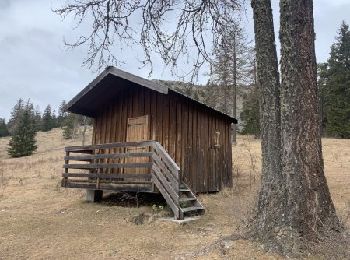
Trail Walking Le Vernet - 04 - Le Vernet - Circuit des 3 cabanes - Photo
Walking 12.05
Km

Walking

Medium
Le Vernet, Provence-Alpes-Côte d'Azur, Alpes-de-Haute-Provence, France
12.1 km | 20 km-effort
5h 30min
630 m
631 m
Yes
chris13370

Trail Walking Le Vernet - 20190328_Le Vernet_Circuit des trois cabanes - Photo
Walking 12.093
Km

Walking

Medium
Le Vernet, Provence-Alpes-Côte d'Azur, Alpes-de-Haute-Provence, France
12.1 km | 20 km-effort
4h 18min
612 m
618 m
Yes
PapouBertrand

Trail Walking Le Vernet - Sommet de Grisonnière via le Vernet - Photo
Walking 10.139
Km

Walking

Very difficult
Le Vernet, Provence-Alpes-Côte d'Azur, Alpes-de-Haute-Provence, France
10.1 km | 20 km-effort
5h 8min
747 m
744 m
Yes
PapouBertrand

Trail On foot Le Vernet - Boucle Le Vernet-La Chalose-Le Vernet - Photo
On foot 7.988
Km

On foot

Easy
Le Vernet, Provence-Alpes-Côte d'Azur, Alpes-de-Haute-Provence, France
8 km | 11.2 km-effort
2h 33min
244 m
244 m
Yes
Monique14

Trail Walking Le Vernet - VERNET . LES 3 CABANES O S M  - Photo
Walking 17.134
Km

Walking

Medium
Le Vernet, Provence-Alpes-Côte d'Azur, Alpes-de-Haute-Provence, France
17.1 km | 28 km-effort
5h 14min
813 m
815 m
Yes
RobinMicheline

Trail Walking Le Vernet - Le Pinet - Les 3 Cabanes Via le Vernet - Photo
Walking 14.948
Km

Walking

Very difficult
Le Vernet, Provence-Alpes-Côte d'Azur, Alpes-de-Haute-Provence, France
14.9 km | 28 km-effort
5h 56min
983 m
879 m
No
PapouBertrand

Trail Walking Le Vernet - Le Vernet-col de Mariaud-Tête de la Bau - Photo
Walking 12.976
Km

Walking

Very easy
Le Vernet, Provence-Alpes-Côte d'Azur, Alpes-de-Haute-Provence, France
13 km | 20 km-effort
2h 53min
554 m
553 m
Yes
countryjack

Trail Walking Le Vernet - VERNET   col de Mariaud le tour des villages abandonnés o - Photo
Walking 15.832
Km

Walking

Difficult
Le Vernet, Provence-Alpes-Côte d'Azur, Alpes-de-Haute-Provence, France
15.8 km | 28 km-effort
7h 54min
1020 m
475 m
No
RobinMicheline

Trail On foot Le Vernet - Boucle Le Vernet-Val Pousane-L'Imérée-Pié Fourcha-Col de Mariaud-Le Vernet - Photo
On foot 20.291
Km

On foot

Difficult
Le Vernet, Provence-Alpes-Côte d'Azur, Alpes-de-Haute-Provence, France
20 km | 33 km-effort
7h 33min
972 m
974 m
Yes
Monique14

Trail On foot Le Vernet - Boucle de la mairie du Vernet, les Béliers, Roussimal, le Vernet. - Photo
On foot 4.665
Km

On foot

Easy
Le Vernet, Provence-Alpes-Côte d'Azur, Alpes-de-Haute-Provence, France
4.7 km | 6 km-effort
1h 21min
100 m
101 m
Yes
Monique14

Trail Walking Le Vernet -  VERNET   Col de Mario .  Les Béliers  o  - Photo
Walking 9.972
Km

Walking

Medium
Le Vernet, Provence-Alpes-Côte d'Azur, Alpes-de-Haute-Provence, France
10 km | 18 km-effort
6h 9min
605 m
608 m
Yes
RobinMicheline

Trail Walking Le Vernet - VERNET cabane des Têtes  cabane Belau  o  - Photo
Walking 14.206
Km

Walking

Difficult
(1)
Le Vernet, Provence-Alpes-Côte d'Azur, Alpes-de-Haute-Provence, France
14.2 km | 25 km-effort
6h 24min
766 m
886 m
No
RobinMicheline

Trail Walking Le Vernet - Vernet - Photo
Walking 8.555
Km

Walking

Medium
Le Vernet, Provence-Alpes-Côte d'Azur, Alpes-de-Haute-Provence, France
8.6 km | 12.5 km-effort
4h 53min
201 m
587 m
No
Juan Pablo

Trail On foot Le Vernet - Le Vernet - La Chaloze - Photo
On foot 9.768
Km

On foot

Easy
Le Vernet, Provence-Alpes-Côte d'Azur, Alpes-de-Haute-Provence, France
9.8 km | 13.6 km-effort
3h 5min
328 m
165 m
No
Monique14

20 trails displayed on 24

FREE GPS app for hiking

Logo SityTrail SityTrail

IGN / Geographical institutes

Download SityTrail from the App Store Download SityTrail from Google Play

Logo SityTrail SityTrail World

The world is yours!

Download SityTrail from the App Store Download SityTrail from Google Play Download SityTrail on Huawei AppGallery

Activities

Close
My subscriptions