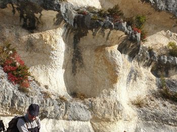
Vachères, Alpes-de-Haute-Provence, On foot: Best trails, routes and walks
Vachères: Discover the best trails: 5 walking and 1 on foot. All these trails, routes and outdoor activities are available in our SityTrail applications for smartphones and tablets.
The best trails (6)

Km
#1 - Vachères 04


Walking
Difficult
Vachères,
Provence-Alpes-Côte d'Azur,
Alpes-de-Haute-Provence,
France

17.8 km | 25 km-effort
4h 47min

514 m

515 m
Yes
janussity

Km
#2 - Le revest des brousses .val Marie


Walking
Easy
Vachères,
Provence-Alpes-Côte d'Azur,
Alpes-de-Haute-Provence,
France

7.1 km | 9 km-effort
2h 46min

146 m

144 m
Yes
Roger

Km
#3 - Vacheres Ste Croix Oppedette Valsaintes en boucle


Walking
Very difficult
Vachères,
Provence-Alpes-Côte d'Azur,
Alpes-de-Haute-Provence,
France

16.3 km | 22 km-effort
5h 3min

448 m

448 m
Yes
ejacky

Km
#4 - Vachères - le saut du Moine_gpx


On foot
Medium
Vachères,
Provence-Alpes-Côte d'Azur,
Alpes-de-Haute-Provence,
France

16.3 km | 23 km-effort
Unknown

480 m

480 m
Yes
RobinMicheline

Km
#5 - vacheres


Walking
Difficult
Vachères,
Provence-Alpes-Côte d'Azur,
Alpes-de-Haute-Provence,
France

13.5 km | 18.4 km-effort
5h 14min

362 m

362 m
Yes
Jean-Claude BOURGUE

Km
#6 - Vachères


Walking
Vachères,
Provence-Alpes-Côte d'Azur,
Alpes-de-Haute-Provence,
France

2.1 km | 2.4 km-effort
27min

28 m

27 m
Yes
zakouski
6 trails displayed on 6
FREE GPS app for hiking


 SityTrail


