Allons, Alpes-de-Haute-Provence, On foot: Best trails, routes and walks

Allons: Discover the best trails: 1 on foot, 9 walking and 1 running. All these trails, routes and outdoor activities are available in our SityTrail applications for smartphones and tablets.


The best trails (11)
Trail Walking Allons - 2024-11-29 Pic de Chamatte par Allons  - Photo
Walking 15.602
Km
GUIDE

Walking

Very difficult
Allons, Provence-Alpes-Côte d'Azur, Alpes-de-Haute-Provence, France
15.6 km | 27 km-effort
6h 8min
859 m
859 m
Yes
Kargil

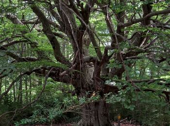
Trail Walking Allons - Rando de l'arbre remarquable  - Photo
Walking 9.217
Km

Walking

Easy
Allons, Provence-Alpes-Côte d'Azur, Alpes-de-Haute-Provence, France
9.2 km | 12.7 km-effort
2h 19min
261 m
264 m
Yes
Marchopier

Trail Walking Allons - puy de rent, descente par la colle  - Photo
Walking 22.346
Km

Walking

Medium
Allons, Provence-Alpes-Côte d'Azur, Alpes-de-Haute-Provence, France
22 km | 38 km-effort
5h 40min
1142 m
1146 m
Yes
daniel256

• montée en zigzag très bien faite, donc possible d'y maintenir un bon rythme, vue panoramique de tlut côté une fois ar...
Trail Walking Allons - colle Basse - Photo
Walking 3.754
Km

Walking

Very easy
Allons, Provence-Alpes-Côte d'Azur, Alpes-de-Haute-Provence, France
3.8 km | 4.5 km-effort
1h 11min
55 m
58 m
Yes
dan0406

Trail Walking Allons - Annot Arbre Remarquable - Photo
Walking 10.012
Km

Walking

Very easy
Allons, Provence-Alpes-Côte d'Azur, Alpes-de-Haute-Provence, France
10 km | 13.4 km-effort
5h 10min
255 m
259 m
Yes
Gib04

Trail Walking Allons - pic de chamatte par crête des serres  - Photo
Walking 20.931
Km

Walking

Medium
Allons, Provence-Alpes-Côte d'Azur, Alpes-de-Haute-Provence, France
21 km | 35 km-effort
5h 7min
1046 m
1040 m
Yes
daniel256

• montée dans une magnifique hêtraie, puis long passage sur la crête jusqu'au pic, avec tout du long un superbe panoram...
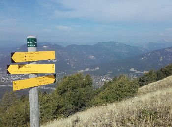
Trail Running Allons - pic chamatte - colle basse - Photo
Running 13.068
Km

Running

Easy
Allons, Provence-Alpes-Côte d'Azur, Alpes-de-Haute-Provence, France
13.1 km | 22 km-effort
2h 18min
690 m
691 m
Yes
baygonvert

Trail Walking Allons - ANNOT LA COLLE BASSE-LES ROCHES DE ROUAINE - Photo
Walking 10.042
Km

Walking

Difficult
Allons, Provence-Alpes-Côte d'Azur, Alpes-de-Haute-Provence, France
10 km | 13.4 km-effort
3h 24min
251 m
254 m
Yes
michel83190

Trail Walking Allons - Allons chamate r - Photo
Walking 19.24
Km

Walking

Allons, Provence-Alpes-Côte d'Azur, Alpes-de-Haute-Provence, France
19.2 km | 32 km-effort
7h 17min
949 m
1007 m
No
SaintEloi4

Trail On foot Allons - Crete des Serres - Photo
On foot 14.076
Km

On foot

Very easy
Allons, Provence-Alpes-Côte d'Azur, Alpes-de-Haute-Provence, France
14.1 km | 24 km-effort
Unknown
744 m
748 m
Yes
RobinMicheline

11 trails displayed on 11

FREE GPS app for hiking

Logo SityTrail SityTrail

IGN / Geographical institutes

Download SityTrail from the App Store Download SityTrail from Google Play

Logo SityTrail SityTrail World

The world is yours!

Download SityTrail from the App Store Download SityTrail from Google Play Download SityTrail on Huawei AppGallery

Activities

Close
My subscriptions