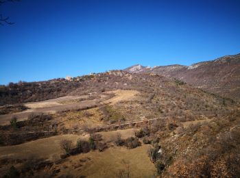
Bevons, Alpes-de-Haute-Provence, On foot: Best trails, routes and walks

1 comments

Bevons: Discover the best trails: 1 on foot, 9 walking, 3 running and 1 trail. All these trails, routes and outdoor activities are available in our SityTrail applications for smartphones and tablets.


The best trails (14)
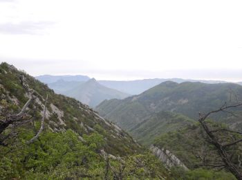
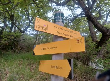
Trail Walking Bevons - PF-Le Jabron (04) entre Bevons et le Vieux Noyer - Photo
Walking 14.391
Km
GUIDE

Walking

Difficult
(1)
Bevons, Provence-Alpes-Côte d'Azur, Alpes-de-Haute-Provence, France
14.4 km | 22 km-effort
4h 57min
584 m
583 m
Yes
MicDul

Trail Walking Bevons - BEVONS. TOUR DE PENSIER .LE COLLET. CHAPELLE ST BEVONS. PAS DE L ESSAILLON. LA FAYEE. O L M S - Photo
Walking 11.925
Km
GUIDE

Walking

Medium
Bevons, Provence-Alpes-Côte d'Azur, Alpes-de-Haute-Provence, France
11.9 km | 17.9 km-effort
3h 15min
451 m
451 m
Yes
RobinMicheline

Trail Walking Bevons - Bevons pierre impie roc de l'aigle 15.6km 950m - Photo
Walking 15.576
Km
GUIDE

Walking

Medium
Bevons, Provence-Alpes-Côte d'Azur, Alpes-de-Haute-Provence, France
15.6 km | 27 km-effort
8h 13min
825 m
823 m
Yes
Danielba

Trail Running Bevons - Tour du Peydiou -  Bevons - Photo
Running 11.095
Km

Running

Medium
Bevons, Provence-Alpes-Côte d'Azur, Alpes-de-Haute-Provence, France
11.1 km | 17 km-effort
1h 40min
442 m
441 m
Yes
tracegps

Trail Walking Bevons - Tour du Peydiou -  Bevons - Photo
Walking 11.095
Km

Walking

Medium
Bevons, Provence-Alpes-Côte d'Azur, Alpes-de-Haute-Provence, France
11.1 km | 17 km-effort
3h 0min
442 m
441 m
Yes
tracegps

Trail Trail Bevons - col-de-la-mairie-roc-de-l-aigle-foret-du-jabron - Photo
Trail 9.665
Km

Trail

Very easy
Bevons, Provence-Alpes-Côte d'Azur, Alpes-de-Haute-Provence, France
9.7 km | 18.9 km-effort
Unknown
696 m
695 m
Yes
Kaiser113

• Parcours créé sur Trace de Trail

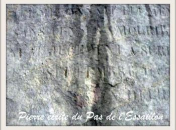
Trail On foot Bevons - Pas de l'Essaillon - Photo
On foot 12.262
Km
GUIDE

On foot

Very easy
Bevons, Provence-Alpes-Côte d'Azur, Alpes-de-Haute-Provence, France
12.3 km | 19.2 km-effort
Unknown
524 m
524 m
Yes
RobinMicheline

Trail Walking Bevons - Tour Du Peydiou (Bevons ) - Photo
Walking 11.515
Km

Walking

Difficult
Bevons, Provence-Alpes-Côte d'Azur, Alpes-de-Haute-Provence, France
11.5 km | 17.8 km-effort
3h 41min
471 m
471 m
Yes
claude nier

Trail Walking Bevons - Le tour de Peydou - Photo
Walking 11.493
Km

Walking

Very easy
Bevons, Provence-Alpes-Côte d'Azur, Alpes-de-Haute-Provence, France
11.5 km | 17 km-effort
5h 30min
416 m
413 m
Yes
PITOUSSAINT

Trail Walking Bevons - Tour du Peydiou (Bevons) - Photo
Walking 11.096
Km

Walking

Very easy
Bevons, Provence-Alpes-Côte d'Azur, Alpes-de-Haute-Provence, France
11.1 km | 17 km-effort
3h 31min
443 m
443 m
Yes
jojo188

Trail Walking Bevons - pierre impie roc de l'aigle par les bastides - Photo
Walking 10.065
Km

Walking

Medium
Bevons, Provence-Alpes-Côte d'Azur, Alpes-de-Haute-Provence, France
10.1 km | 18.8 km-effort
5h 41min
656 m
666 m
Yes
radisnoir

Trail Walking Bevons - 20190418_Les Bastides_Chapelle St Claude - Photo
Walking 16.076
Km

Walking

Very difficult
Bevons, Provence-Alpes-Côte d'Azur, Alpes-de-Haute-Provence, France
16.1 km | 25 km-effort
5h 10min
673 m
673 m
Yes
PapouBertrand

Trail Running Bevons - Bevons/Noyers/Valbelle - Photo
Running 28.053
Km

Running

Difficult
Bevons, Provence-Alpes-Côte d'Azur, Alpes-de-Haute-Provence, France
28 km | 47 km-effort
3h 0min
1389 m
1395 m
Yes
phd04

Trail Running Bevons - Tour du Peydiou - Photo
Running 11.99
Km

Running

Medium
Bevons, Provence-Alpes-Côte d'Azur, Alpes-de-Haute-Provence, France
12 km | 18.4 km-effort
2h 30min
481 m
483 m
Yes
phd04

14 trails displayed on 14

FREE GPS app for hiking

Logo SityTrail SityTrail

IGN / Geographical institutes

Download SityTrail from the App Store Download SityTrail from Google Play

Logo SityTrail SityTrail World

The world is yours!

Download SityTrail from the App Store Download SityTrail from Google Play Download SityTrail on Huawei AppGallery

Activities

Close
My subscriptions