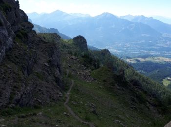
Saint-Michel-de-Chaillol, Hautes-Alpes, On foot: Best trails, routes and walks

7 comments

Saint-Michel-de-Chaillol: Discover the best trails: 1 on foot, 76 walking, 1 nordic walking and 1 trail. All these trails, routes and outdoor activities are available in our SityTrail applications for smartphones and tablets.


The best trails (79)
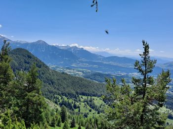
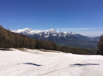
Trail Walking Saint-Michel-de-Chaillol - Col de l'Escalier - Photo
Walking 15.958
Km
GUIDE

Walking

Difficult
Saint-Michel-de-Chaillol, Provence-Alpes-Côte d'Azur, Hautes-Alpes, France
16 km | 27 km-effort
6h 13min
857 m
855 m
Yes
Marco05

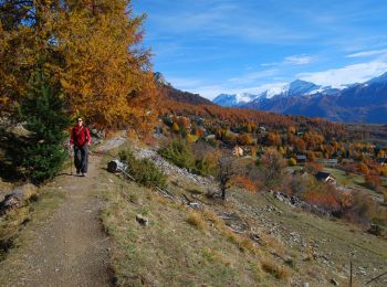
Trail Walking Saint-Michel-de-Chaillol - Pic Queyrel - Photo
Walking 10.434
Km
GUIDE

Walking

Difficult
Saint-Michel-de-Chaillol, Provence-Alpes-Côte d'Azur, Hautes-Alpes, France
10.4 km | 19.8 km-effort
4h 29min
699 m
699 m
Yes
Marco05

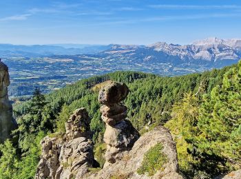
Trail Walking Saint-Michel-de-Chaillol - Pic du Tourond - Photo
Walking 13.664
Km
GUIDE

Walking

Very difficult
Saint-Michel-de-Chaillol, Provence-Alpes-Côte d'Azur, Hautes-Alpes, France
13.7 km | 27 km-effort
6h 14min
1035 m
1035 m
Yes
Marco05

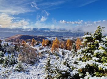
Trail Walking Saint-Michel-de-Chaillol - Lac de Malcros - Photo
Walking 18.663
Km
GUIDE

Walking

Very difficult
Saint-Michel-de-Chaillol, Provence-Alpes-Côte d'Azur, Hautes-Alpes, France
18.7 km | 34 km-effort
7h 43min
1149 m
1149 m
Yes
Marco05

Trail Walking Saint-Michel-de-Chaillol - pic de queyrel - Photo
Walking 10.757
Km
GUIDE

Walking

Very difficult
Saint-Michel-de-Chaillol, Provence-Alpes-Côte d'Azur, Hautes-Alpes, France
10.8 km | 21 km-effort
5h 40min
767 m
768 m
Yes
nadd73

Trail Walking Saint-Michel-de-Chaillol - Tête ouest de Mal Cros 11/08/18 - Photo
Walking 21.402
Km
GUIDE

Walking

Very difficult
Saint-Michel-de-Chaillol, Provence-Alpes-Côte d'Azur, Hautes-Alpes, France
21 km | 40 km-effort
8h 2min
1401 m
1397 m
Yes
R@ph

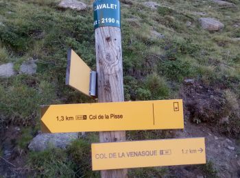
Trail Walking Saint-Michel-de-Chaillol - col de la pisse - Photo
Walking 13.2
Km

Walking

Medium
Saint-Michel-de-Chaillol, Provence-Alpes-Côte d'Azur, Hautes-Alpes, France
13.2 km | 23 km-effort
5h 54min
756 m
755 m
Yes
gibello

Trail Walking Saint-Michel-de-Chaillol - Pic Queyrel 2435m 3.8.24 - Photo
Walking 13.754
Km
GUIDE

Walking

Difficult
Saint-Michel-de-Chaillol, Provence-Alpes-Côte d'Azur, Hautes-Alpes, France
13.8 km | 25 km-effort
4h 50min
830 m
831 m
Yes
fredetpascale

Trail Walking Saint-Michel-de-Chaillol - Chaillol - Photo
Walking 13.099
Km

Walking

Easy
Saint-Michel-de-Chaillol, Provence-Alpes-Côte d'Azur, Hautes-Alpes, France
13.1 km | 19.2 km-effort
4h 19min
452 m
466 m
Yes
rarnaud

• Sentier du canal de Mal Cros, Lac de Barbeyroux, retour par la station de ski de Chaillol.

Trail Walking Saint-Michel-de-Chaillol - Aiguilles de Famourou - Photo
Walking 11.194
Km

Walking

Difficult
(1)
Saint-Michel-de-Chaillol, Provence-Alpes-Côte d'Azur, Hautes-Alpes, France
11.2 km | 18 km-effort
4h 5min
512 m
511 m
Yes
frizou83

Trail Walking Saint-Michel-de-Chaillol - R39 Marmottes et Canal de Chaillol - Photo
Walking 7.066
Km
GUIDE+

Walking

Very easy
Saint-Michel-de-Chaillol, Provence-Alpes-Côte d'Azur, Hautes-Alpes, France
7.1 km | 11.8 km-effort
2h 32min
360 m
338 m
Yes
Camping Les Rives du Lac

• At the start of the Malcros canal trail, in the scree, live several marmots. They will be more visible in the mornin...
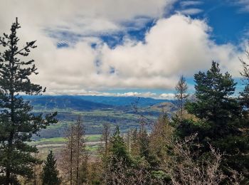
Trail Walking Saint-Michel-de-Chaillol - Sous Le Caire_Trou de la Fée Depuis Les Marrons - Photo
Walking 14.927
Km

Walking

Very difficult
Saint-Michel-de-Chaillol, Provence-Alpes-Côte d'Azur, Hautes-Alpes, France
14.9 km | 27 km-effort
6h 1min
869 m
870 m
Yes
PapouBertrand

Trail Walking Saint-Michel-de-Chaillol - Pic Queyrel et l'Arche Cachée via Chaillol - Photo
Walking 10.915
Km

Walking

Very difficult
Saint-Michel-de-Chaillol, Provence-Alpes-Côte d'Azur, Hautes-Alpes, France
10.9 km | 21 km-effort
4h 41min
728 m
728 m
Yes
PapouBertrand

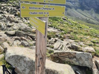
Trail Walking Saint-Michel-de-Chaillol - Sentier du Canal de Mal Cros Via Chaillol 1600 - Photo
Walking 7.389
Km

Walking

Very difficult
Saint-Michel-de-Chaillol, Provence-Alpes-Côte d'Azur, Hautes-Alpes, France
7.4 km | 9.7 km-effort
2h 15min
95 m
395 m
No
PapouBertrand

Trail Walking Saint-Michel-de-Chaillol - Vieux Chaillol - Photo
Walking 19.451
Km

Walking

Medium
Saint-Michel-de-Chaillol, Provence-Alpes-Côte d'Azur, Hautes-Alpes, France
19.5 km | 39 km-effort
5h 40min
1446 m
1455 m
Yes
Michel_Martin

Trail Walking Saint-Michel-de-Chaillol - queyrel Chaillol - Photo
Walking 10.907
Km

Walking

Difficult
Saint-Michel-de-Chaillol, Provence-Alpes-Côte d'Azur, Hautes-Alpes, France
10.9 km | 18.6 km-effort
3h 48min
482 m
877 m
No
marchev

Trail Walking Saint-Michel-de-Chaillol - Vieux Chaillol  - Photo
Walking 18.76
Km
GUIDE

Walking

Medium
Saint-Michel-de-Chaillol, Provence-Alpes-Côte d'Azur, Hautes-Alpes, France
18.8 km | 38 km-effort
9h 9min
1420 m
1422 m
Yes
orsel

Trail Walking Saint-Michel-de-Chaillol - les balcons de Chaillol - Photo
Walking 12.103
Km

Walking

Medium
Saint-Michel-de-Chaillol, Provence-Alpes-Côte d'Azur, Hautes-Alpes, France
12.1 km | 19 km-effort
4h 2min
508 m
545 m
No
marchev

Trail Walking Saint-Michel-de-Chaillol - Lac de Malcros par la Cabane des Parisiens - Photo
Walking 20.754
Km

Walking

Very difficult
Saint-Michel-de-Chaillol, Provence-Alpes-Côte d'Azur, Hautes-Alpes, France
21 km | 37 km-effort
6h 20min
1207 m
1207 m
Yes
phd04

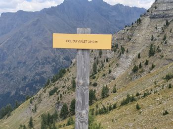
Trail Walking Saint-Michel-de-Chaillol - chaillol col du vialet - Photo
Walking 13.225
Km

Walking

Medium
Saint-Michel-de-Chaillol, Provence-Alpes-Côte d'Azur, Hautes-Alpes, France
13.2 km | 24 km-effort
3h 25min
812 m
796 m
No
dadodeca

20 trails displayed on 79

FREE GPS app for hiking

Logo SityTrail SityTrail

IGN / Geographical institutes

Download SityTrail from the App Store Download SityTrail from Google Play

Logo SityTrail SityTrail World

The world is yours!

Download SityTrail from the App Store Download SityTrail from Google Play Download SityTrail on Huawei AppGallery

Activities

Close
My subscriptions