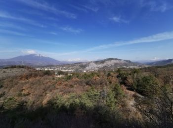
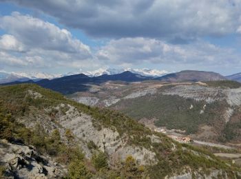
Tallard, Hautes-Alpes, On foot: Best trails, routes and walks

1 comments

Tallard: Discover the best trails: 11 walking. All these trails, routes and outdoor activities are available in our SityTrail applications for smartphones and tablets.


The best trails (11)
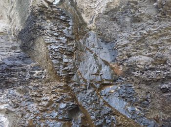
Trail Walking Tallard - Tallard - les Marinons 17.6.23 - Photo
Walking 10.165
Km
GUIDE

Walking

Easy
Tallard, Provence-Alpes-Côte d'Azur, Hautes-Alpes, France
10.2 km | 15.4 km-effort
3h 15min
393 m
393 m
Yes
fredetpascale

Trail Walking Tallard - Boucle Tallard - Venterol - Photo
Walking 8.704
Km

Walking

Medium
Tallard, Provence-Alpes-Côte d'Azur, Hautes-Alpes, France
8.7 km | 14.9 km-effort
4h 47min
466 m
465 m
Yes
Daniel.BRUN-PICARD

Trail Walking Tallard - Tour le long de la Durance et sur les crètes du château  - Photo
Walking 6.161
Km

Walking

Medium
(1)
Tallard, Provence-Alpes-Côte d'Azur, Hautes-Alpes, France
6.2 km | 8.2 km-effort
2h 26min
154 m
153 m
Yes
Daniel.BRUN-PICARD

Trail Walking Tallard - Circuit les Marinons à Tallard.(25-03-18). - Photo
Walking 10.618
Km

Walking

Easy
Tallard, Provence-Alpes-Côte d'Azur, Hautes-Alpes, France
10.6 km | 16.3 km-effort
2h 59min
426 m
424 m
Yes
Dervalmarc

• Très belle boucle dans les collines au dessus de Tallard. Paysage original dans les marnes. Belle variété de milieu. ...
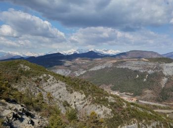
Trail Walking Tallard - Circuit les Marinons à Tallard.(25-03-18). - Photo
Walking 8.816
Km

Walking

Easy
Tallard, Provence-Alpes-Côte d'Azur, Hautes-Alpes, France
8.8 km | 13.6 km-effort
2h 59min
421 m
169 m
No
Dervalmarc

• Très belle boucle dans les collines au dessus de Tallard. Paysage original dans les marnes. Belle variété de milieu. ...
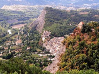
Trail Walking Tallard - Rome-37-Tallard-Gap-20170906 - Photo
Walking 16.269
Km

Walking

Difficult
Tallard, Provence-Alpes-Côte d'Azur, Hautes-Alpes, France
16.3 km | 23 km-effort
4h 37min
568 m
436 m
No
patrickdanilo

• ALTA-17-N°0403F37-GR653D

Trail Walking Tallard - TALLARD tête de Boursier o m s  - Photo
Walking 11.928
Km

Walking

Medium
Tallard, Provence-Alpes-Côte d'Azur, Hautes-Alpes, France
11.9 km | 20 km-effort
3h 46min
640 m
650 m
Yes
RobinMicheline

Trail Walking Tallard - Tallard - Photo
Walking 6.726
Km

Walking

Tallard, Provence-Alpes-Côte d'Azur, Hautes-Alpes, France
6.7 km | 8.7 km-effort
2h 23min
151 m
151 m
Yes
lizeretti

Trail Walking Tallard - Montsérieux depuis Tallard - Photo
Walking 21.182
Km

Walking

Medium
Tallard, Provence-Alpes-Côte d'Azur, Hautes-Alpes, France
21 km | 35 km-effort
5h 50min
1063 m
1062 m
Yes
arno55v

Trail Walking Tallard - GR653D - Tallard - Embrun - Photo
Walking 79.325
Km

Walking

Very difficult
Tallard, Provence-Alpes-Côte d'Azur, Hautes-Alpes, France
79 km | 113 km-effort
25h 46min
2619 m
2369 m
No
Jocelyne Lansiaux

Trail Walking Tallard - Tallard à La Mothe du Caïre Chemin de Compostelle - Photo
Walking 25.256
Km

Walking

Very difficult
Tallard, Provence-Alpes-Côte d'Azur, Hautes-Alpes, France
25 km | 38 km-effort
7h 55min
962 m
861 m
No
jll7513

11 trails displayed on 11

FREE GPS app for hiking

Logo SityTrail SityTrail

IGN / Geographical institutes

Download SityTrail from the App Store Download SityTrail from Google Play

Logo SityTrail SityTrail World

The world is yours!

Download SityTrail from the App Store Download SityTrail from Google Play Download SityTrail on Huawei AppGallery

Activities

Close
My subscriptions