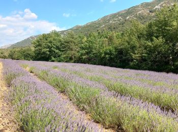
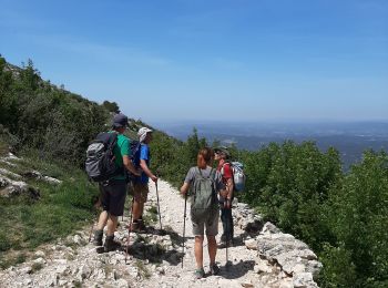
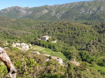
Vauvenargues, Bouches-du-Rhône, On foot: Best trails, routes and walks

13 comments

Vauvenargues: Discover the best trails: 7 on foot, 176 walking, 4 running and 1 trail. All these trails, routes and outdoor activities are available in our SityTrail applications for smartphones and tablets.


The best trails (188)
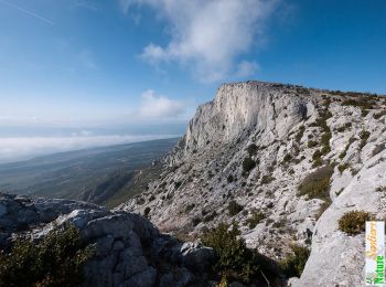
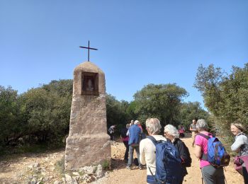
Trail Walking Vauvenargues - Le Signal, Montagne Sainte-Victoire - Photo
Walking 14.998
Km

Walking

Medium
(2)
Vauvenargues, Provence-Alpes-Côte d'Azur, Bouches-du-Rhône, France
15 km | 25 km-effort
6h 19min
767 m
767 m
Yes
tracegps

Trail On foot Vauvenargues - Sentier des Venturiers - Photo
On foot 5.039
Km
GUIDE+

On foot

Easy
Vauvenargues, Provence-Alpes-Côte d'Azur, Bouches-du-Rhône, France
5 km | 10.5 km-effort
2h 23min
542 m
25 m
No
SityTrail - itinéraires balisés pédestres

• Trail created by Grand Site Sainte-Victoire.
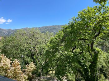
Trail Walking Vauvenargues - Vauvenargue - Photo
Walking 16.593
Km
GUIDE

Walking

Very difficult
Vauvenargues, Provence-Alpes-Côte d'Azur, Bouches-du-Rhône, France
16.6 km | 29 km-effort
5h 28min
946 m
941 m
Yes
jouans

Trail Walking Vauvenargues - Vauvenargues - Col de Suberoque - Garagaï - Croix de Provence - Prieuré - Sentier Imoucha - Le Tholonet - Photo
Walking 17.364
Km

Walking

Medium
Vauvenargues, Provence-Alpes-Côte d'Azur, Bouches-du-Rhône, France
17.4 km | 28 km-effort
5h 33min
765 m
1027 m
No
LtZIP

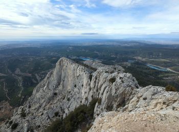
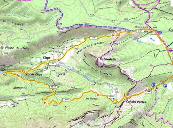
Trail Walking Vauvenargues - le pic des mouches et la citadelle - Photo
Walking 11.366
Km
GUIDE

Walking

Easy
Vauvenargues, Provence-Alpes-Côte d'Azur, Bouches-du-Rhône, France
11.4 km | 18.3 km-effort
3h 53min
520 m
523 m
Yes
amiral13

Trail Walking Vauvenargues - Sainte-Victoire (accès par Vauvenargues et GR9) - Photo
Walking 14.198
Km

Walking

Difficult
Vauvenargues, Provence-Alpes-Côte d'Azur, Bouches-du-Rhône, France
14.2 km | 24 km-effort
6h 15min
728 m
726 m
Yes
PiloudeBamako

Trail Trail Vauvenargues - Vauvenargues  - Photo
Trail 15.905
Km

Trail

Difficult
Vauvenargues, Provence-Alpes-Côte d'Azur, Bouches-du-Rhône, France
15.9 km | 28 km-effort
3h 31min
935 m
937 m
Yes
Olivier69XC

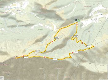
Trail Walking Vauvenargues - le Pic des Mouches par le col des Portes 30 mai 2019 - Photo
Walking 11.025
Km

Walking

Medium
Vauvenargues, Provence-Alpes-Côte d'Azur, Bouches-du-Rhône, France
11 km | 17.9 km-effort
4h 37min
519 m
520 m
Yes
chrifor

Trail Walking Vauvenargues - SAINTE VICTOIRE   VAUVENARGUES - Photo
Walking 14.269
Km

Walking

Difficult
Vauvenargues, Provence-Alpes-Côte d'Azur, Bouches-du-Rhône, France
14.3 km | 24 km-effort
6h 50min
768 m
760 m
Yes
FLORENSAC

Trail Walking Vauvenargues - vauvenargues - Photo
Walking 15.105
Km

Walking

Very difficult
Vauvenargues, Provence-Alpes-Côte d'Azur, Bouches-du-Rhône, France
15.1 km | 26 km-effort
10h 11min
783 m
782 m
Yes
serge83

Trail Walking Vauvenargues - la gardiole - Photo
Walking 13.376
Km

Walking

Very easy
Vauvenargues, Provence-Alpes-Côte d'Azur, Bouches-du-Rhône, France
13.4 km | 16.6 km-effort
4h 18min
246 m
244 m
Yes
jo-ba

• p 1

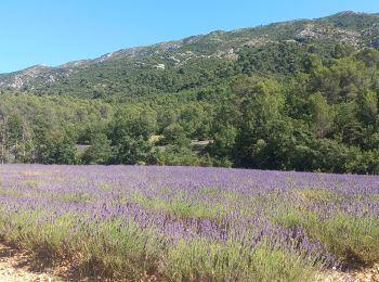
Trail Walking Vauvenargues - Lavande à Vauvenargues - Photo
Walking 9.82
Km

Walking

Easy
Vauvenargues, Provence-Alpes-Côte d'Azur, Bouches-du-Rhône, France
9.8 km | 13.2 km-effort
2h 15min
256 m
253 m
Yes
counoise

Trail Walking Vauvenargues - Pic des Mouches Pascal-83 - Photo
Walking 8.028
Km

Walking

Difficult
Vauvenargues, Provence-Alpes-Côte d'Azur, Bouches-du-Rhône, France
8 km | 13.6 km-effort
3h 25min
418 m
422 m
Yes
Pascal-83

Trail Walking Vauvenargues - La Croix de Provence - Photo
Walking 14.423
Km

Walking

Difficult
Vauvenargues, Provence-Alpes-Côte d'Azur, Bouches-du-Rhône, France
14.4 km | 24 km-effort
4h 53min
751 m
747 m
Yes
MarcLEBARON

Trail Walking Vauvenargues - Obs de la Sinne D+290m - Photo
Walking 9.674
Km

Walking

Difficult
Vauvenargues, Provence-Alpes-Côte d'Azur, Bouches-du-Rhône, France
9.7 km | 13.5 km-effort
3h 4min
289 m
289 m
Yes
ericberlin

Trail Walking Vauvenargues - Pic des Mouches Ste Victoire 1011 m D+415m boucle par Malivert - Photo
Walking 8.151
Km

Walking

Difficult
Vauvenargues, Provence-Alpes-Côte d'Azur, Bouches-du-Rhône, France
8.2 km | 13.7 km-effort
3h 6min
414 m
415 m
Yes
ericberlin

Trail Walking Vauvenargues - Vauvenargues Vallon du Delubre - Photo
Walking 9.628
Km

Walking

Easy
Vauvenargues, Provence-Alpes-Côte d'Azur, Bouches-du-Rhône, France
9.6 km | 12.6 km-effort
2h 9min
222 m
224 m
Yes
counoise

Trail Walking Vauvenargues - les cabassols le Prieuré - Photo
Walking 9.437
Km

Walking

Difficult
Vauvenargues, Provence-Alpes-Côte d'Azur, Bouches-du-Rhône, France
9.4 km | 16.8 km-effort
5h 38min
552 m
553 m
Yes
ARPF2

Trail On foot Vauvenargues - La citadelle de Vauvenargues - Photo
On foot 5.018
Km
GUIDE+

On foot

Easy
(1)
Vauvenargues, Provence-Alpes-Côte d'Azur, Bouches-du-Rhône, France
5 km | 7 km-effort
1h 35min
149 m
142 m
No
SityTrail - itinéraires balisés pédestres

• Trail created by Fédération française de la randonnée pédestre. Symbol: yellow bar
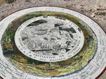
Trail Walking Vauvenargues - Pic des Mouches - Photo
Walking 8.336
Km

Walking

Easy
Vauvenargues, Provence-Alpes-Côte d'Azur, Bouches-du-Rhône, France
8.3 km | 13.9 km-effort
2h 25min
417 m
418 m
Yes
counoise

20 trails displayed on 188

FREE GPS app for hiking

Logo SityTrail SityTrail

IGN / Geographical institutes

Download SityTrail from the App Store Download SityTrail from Google Play

Logo SityTrail SityTrail World

The world is yours!

Download SityTrail from the App Store Download SityTrail from Google Play Download SityTrail on Huawei AppGallery

Activities

Close
My subscriptions