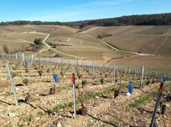
Celles-sur-Ource, Aube, On foot: Best trails, routes and walks
1 comments
Celles-sur-Ource: Discover the best trails: 1 on foot and 5 walking. All these trails, routes and outdoor activities are available in our SityTrail applications for smartphones and tablets.
The best trails (6)

Km
#1 - randonnée chemin du vigneron à Celles sur Ource


Walking
Very easy
(1)
Celles-sur-Ource,
Grand Est,
Aube,
France

11.1 km | 14.5 km-effort
2h 15min

257 m

253 m
Yes
MoiClaude

Km
#2 - Les hauts de Celles sur Ource et Neuville sur Seine


Walking
Easy
Celles-sur-Ource,
Grand Est,
Aube,
France

10.8 km | 13.8 km-effort
2h 53min

222 m

222 m
Yes
gildascb

Km
#3 - Celles sur Ource


Walking
Difficult
Celles-sur-Ource,
Grand Est,
Aube,
France

12.4 km | 16.2 km-effort
2h 54min

287 m

283 m
Yes
MoiClaude

Km
#4 - 14008032-Celles_sur_Ource_M_20052022


Walking
Difficult
Celles-sur-Ource,
Grand Est,
Aube,
France

13 km | 17.1 km-effort
3h 52min

304 m

301 m
Yes
VVerley

Km
#5 - Oelles sur Ource


On foot
Medium
Celles-sur-Ource,
Grand Est,
Aube,
France

19 km | 23 km-effort
5h 19min

332 m

334 m
Yes
genndor

Km
#6 - caf celles


Walking
Very easy
Celles-sur-Ource,
Grand Est,
Aube,
France

11.8 km | 15.5 km-effort
6h 23min

269 m

282 m
No
daniel.evrard.1@cegetel.net
6 trails displayed on 6
FREE GPS app for hiking


 SityTrail


