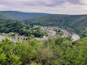
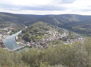
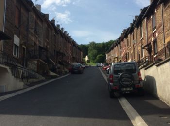
Monthermé, Ardennes, On foot: Best trails, routes and walks

12 comments

Monthermé: Discover the best trails: 96 walking, 3 running and 4 trail. All these trails, routes and outdoor activities are available in our SityTrail applications for smartphones and tablets.


The best trails (103)
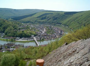
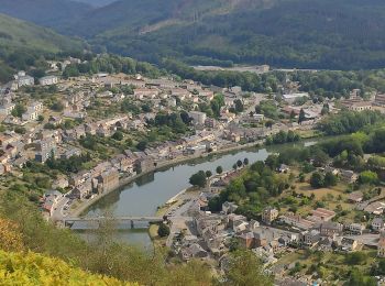
Trail Walking Monthermé - De Monthermé à Bogny sur Meuse par les sentiers de crêtes - Photo
Walking 14.648
Km

Walking

Difficult
(2)
Monthermé, Grand Est, Ardennes, France
14.6 km | 23 km-effort
5h 0min
616 m
610 m
Yes
tracegps

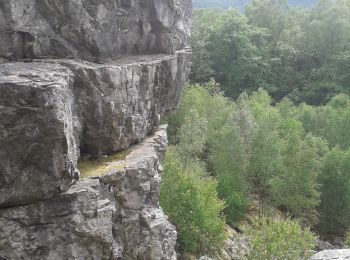
Trail Walking Monthermé - La roche 7H Monthermé  - Photo
Walking 5.931
Km

Walking

Medium
Monthermé, Grand Est, Ardennes, France
5.9 km | 9 km-effort
2h 24min
232 m
232 m
Yes
macrid

Trail Walking Monthermé - les woiries  mercredi  - Photo
Walking 9.617
Km

Walking

Medium
Monthermé, Grand Est, Ardennes, France
9.6 km | 12.7 km-effort
3h 37min
231 m
228 m
No
Nicolesophie08

Trail Walking Monthermé - Monthermé 22,7 km tour des rochers  - Photo
Walking 23.204
Km
GUIDE

Walking

Difficult
Monthermé, Grand Est, Ardennes, France
23 km | 36 km-effort
8h 20min
937 m
936 m
Yes
rvapeldo

Trail Walking Monthermé - Monthermé - Photo
Walking 16.02
Km

Walking

Medium
Monthermé, Grand Est, Ardennes, France
16 km | 21 km-effort
3h 46min
385 m
384 m
Yes
mjh

Trail Walking Monthermé - AUTOUR DE MONTHERMÉ, la boucle de la Meuse - Photo
Walking 14.908
Km

Walking

Very difficult
Monthermé, Grand Est, Ardennes, France
14.9 km | 24 km-effort
5h 5min
646 m
648 m
Yes
jeannine grandjean

Trail Walking Monthermé - 2022-03-01_18h50m58_SityTrail - 3149828 - montherme-jeudi-2022-v2 - Photo
Walking 9.741
Km

Walking

Difficult
(1)
Monthermé, Grand Est, Ardennes, France
9.7 km | 15.2 km-effort
3h 26min
407 m
409 m
Yes
Marche de Prix L M

Trail Walking Monthermé - De Monthermé à la Roche à Sept Heures via le Roc la Tour et la Roche aux Corpias - Photo
Walking 20.459
Km

Walking

Difficult
Monthermé, Grand Est, Ardennes, France
20 km | 32 km-effort
5h 0min
839 m
837 m
Yes
tracegps

Trail Walking Monthermé - Rando dans le massif ardennais des Hauts-Buttés - Photo
Walking 15.21
Km

Walking

Difficult
Monthermé, Grand Est, Ardennes, France
15.2 km | 21 km-effort
4h 0min
413 m
420 m
Yes
tracegps

Trail Walking Monthermé - De la Meuse à la Semoy par le Roc la Tour et la Roche aux Corpias - Photo
Walking 19.039
Km

Walking

Difficult
Monthermé, Grand Est, Ardennes, France
19 km | 28 km-effort
5h 0min
653 m
654 m
Yes
tracegps

Trail Walking Monthermé - montherme - Photo
Walking 11.522
Km

Walking

Medium
Monthermé, Grand Est, Ardennes, France
11.5 km | 16.2 km-effort
4h 15min
350 m
350 m
Yes
Nicolesophie08

Trail Walking Monthermé - Roche à 7 h - Photo
Walking 6.111
Km

Walking

Medium
Monthermé, Grand Est, Ardennes, France
6.1 km | 9.4 km-effort
3h 41min
243 m
252 m
Yes
Philippe Devaux

Trail Walking Monthermé - roc la tour - Photo
Walking 10.787
Km

Walking

Difficult
Monthermé, Grand Est, Ardennes, France
10.8 km | 13.9 km-effort
3h 5min
232 m
232 m
Yes
Nicolesophie08

Trail Walking Monthermé - Monthermé sous la pluie - Photo
Walking 10.327
Km

Walking

Easy
Monthermé, Grand Est, Ardennes, France
10.3 km | 14.5 km-effort
2h 21min
313 m
311 m
Yes
labotte

Trail Walking Monthermé - roche à sept heures woieries - Photo
Walking 12.26
Km

Walking

Medium
Monthermé, Grand Est, Ardennes, France
12.3 km | 17.2 km-effort
2h 52min
371 m
370 m
Yes
labotte

Trail Walking Monthermé - montherme - Photo
Walking 7.402
Km

Walking

Medium
Monthermé, Grand Est, Ardennes, France
7.4 km | 10.7 km-effort
2h 58min
248 m
247 m
Yes
Nicolesophie08

Trail Walking Monthermé - hauts buttés - Photo
Walking 13.794
Km
GUIDE

Walking

Difficult
Monthermé, Grand Est, Ardennes, France
13.8 km | 21 km-effort
3h 50min
539 m
539 m
Yes
japy54

• forêt

Trail Walking Monthermé - tour des 7 roches 9 juin 2014 - Photo
Walking 12.3
Km

Walking

Medium
Monthermé, Grand Est, Ardennes, France
12.3 km | 18.7 km-effort
3h 4min
479 m
484 m
Yes
hcallahan08

Trail Walking Monthermé - Woiries 15 km  - Photo
Walking 15.312
Km
GUIDE

Walking

Medium
Monthermé, Grand Est, Ardennes, France
15.3 km | 27 km-effort
5h 21min
851 m
851 m
Yes
rvapeldo

• trajet un peu rugueux près de la Meuse (ascension vers un maginfique point de vue, au-dessus d'une brèche et tunnel d...

Trail Walking Monthermé - hauts buttés 23 km - Photo
Walking 22.67
Km
GUIDE

Walking

Very easy
Monthermé, Grand Est, Ardennes, France
23 km | 33 km-effort
6h 45min
752 m
745 m
Yes
rvapeldo

20 trails displayed on 103

FREE GPS app for hiking

Logo SityTrail SityTrail

IGN / Geographical institutes

Download SityTrail from the App Store Download SityTrail from Google Play

Logo SityTrail SityTrail World

The world is yours!

Download SityTrail from the App Store Download SityTrail from Google Play Download SityTrail on Huawei AppGallery

Activities

Close
My subscriptions