


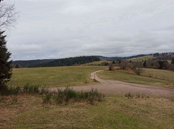
6.4 km | 8.8 km-effort
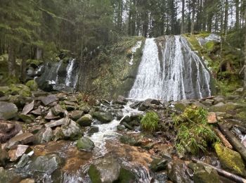
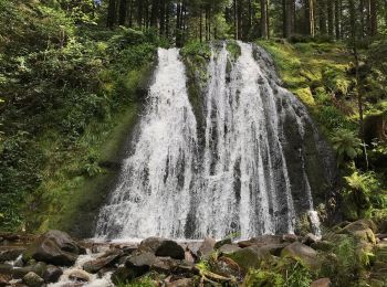
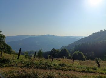
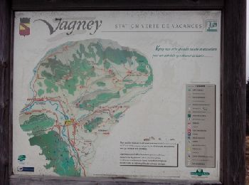
Vagney: Discover the best trails: 6 on foot, 57 walking and 3 nordic walking. All these trails, routes and outdoor activities are available in our SityTrail applications for smartphones and tablets.
Walking


On foot
• Trail created by Club Vosgien de Vagney. Symbol: green_ring
Walking
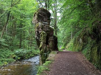
Walking
Walking

Walking

Nordic walking

On foot
• Trail created by Club Vosgien.
On foot
• Trail created by Club Vosgien.
On foot
• Trail created by Club Vosgien de Vagney.
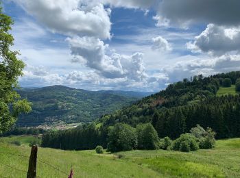
Walking

Walking
Walking

Walking
Walking

Walking
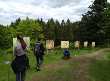
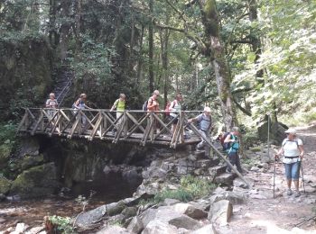
• 2019 03 30 8h25 à 17h20 temps superbe beaux points de vue Rando ASPV avec Dominique, Emmanuelle, Marie et moi
Walking
Walking
• Chèvreroche - La Croix des Hêtres. 21 mars 2015
Walking

Walking
20 trails displayed on 66
FREE GPS app for hiking
 SityTrail
IGN / Geographical institutes
SityTrail World
The world is yours!