


33 km | 43 km-effort
Châtel-Montagne: Discover the best trails: 7 walking and 1 running. All these trails, routes and outdoor activities are available in our SityTrail applications for smartphones and tablets.
Running


Walking

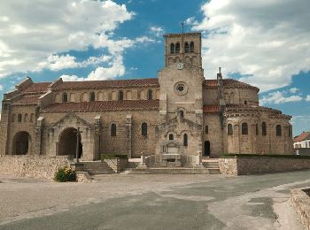
Walking
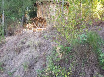
Walking
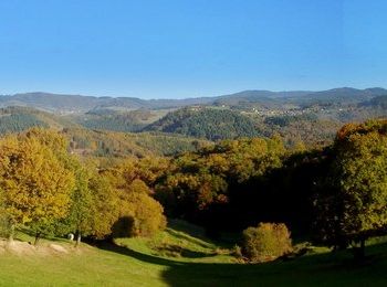
Walking

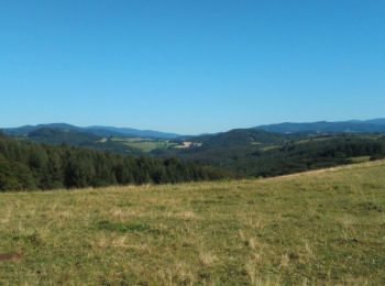
Walking
• More information on GPStracks.nl : http://www.gpstracks.nl
Walking
• More information on GPStracks.nl : http://www.gpstracks.nl
Walking
8 trails displayed on 8
FREE GPS app for hiking
 SityTrail
IGN / Geographical institutes
SityTrail World
The world is yours!