Le Reposoir, Upper Savoy, On foot: Best trails, routes and walks

9 comments

Le Reposoir: Discover the best trails: 85 walking, 4 nordic walking and 1 running. All these trails, routes and outdoor activities are available in our SityTrail applications for smartphones and tablets.


The best trails (90)
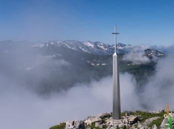
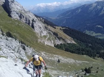
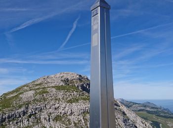
Trail Walking Le Reposoir - Le Petit Bargy 2098 m, depuis Malatrait - Photo
Walking 8.112
Km

Walking

Medium
(1)
Le Reposoir, Auvergne-Rhône-Alpes, Upper Savoy, France
8.1 km | 18.8 km-effort
5h 0min
802 m
802 m
Yes
tracegps

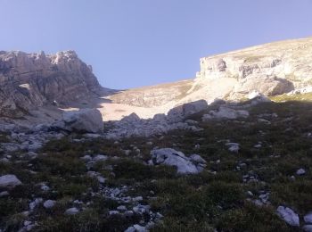
Trail Walking Le Reposoir - au dessus de la grotte de motarquis - Photo
Walking 10.098
Km
GUIDE

Walking

Difficult
Le Reposoir, Auvergne-Rhône-Alpes, Upper Savoy, France
10.1 km | 24 km-effort
6h 0min
1048 m
1047 m
Yes
nadd73

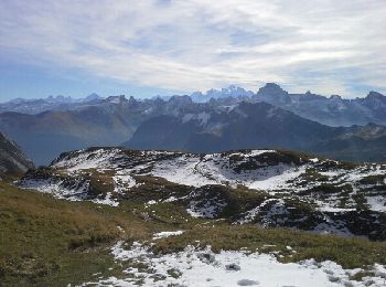
Trail Walking Le Reposoir - pointe blanche par l'arête Est - Photo
Walking 5.556
Km
GUIDE

Walking

Difficult
Le Reposoir, Auvergne-Rhône-Alpes, Upper Savoy, France
5.6 km | 17 km-effort
6h 0min
861 m
847 m
Yes
nadd73

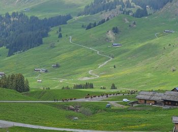
Trail Walking Le Reposoir - lac peyre - Photo
Walking 5.08
Km

Walking

Medium
(2)
Le Reposoir, Auvergne-Rhône-Alpes, Upper Savoy, France
5.1 km | 10.9 km-effort
2h 26min
425 m
474 m
Yes
Jeroen82

Trail Walking Le Reposoir - Col de la Colombière - Pointe du Midi - Photo
Walking 10.978
Km

Walking

Medium
(1)
Le Reposoir, Auvergne-Rhône-Alpes, Upper Savoy, France
11 km | 24 km-effort
3h 59min
988 m
987 m
Yes
sofracoan

• Montée via la grotte de Montarquis et la combe sauvage - Redescente via le col de Balafrasse.
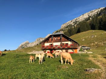
Trail Walking Le Reposoir - Montée au Petit Bargy - Photo
Walking 10.396
Km

Walking

Difficult
Le Reposoir, Auvergne-Rhône-Alpes, Upper Savoy, France
10.4 km | 23 km-effort
4h 1min
926 m
926 m
Yes
Chabard

Trail Walking Le Reposoir - Col des Annes du Reposoir - Photo
Walking 13.856
Km

Walking

Difficult
Le Reposoir, Auvergne-Rhône-Alpes, Upper Savoy, France
13.9 km | 24 km-effort
5h 30min
775 m
780 m
Yes
GrouGary

Trail Walking Le Reposoir - Col de l'Encrenaz, pour le Petit Bargy - Photo
Walking 7.321
Km

Walking

Difficult
Le Reposoir, Auvergne-Rhône-Alpes, Upper Savoy, France
7.3 km | 16.8 km-effort
3h 52min
714 m
715 m
Yes
GrouGary

Trail Walking Le Reposoir - Tête d'Auferrand - Photo
Walking 7.41
Km

Walking

Difficult
(1)
Le Reposoir, Auvergne-Rhône-Alpes, Upper Savoy, France
7.4 km | 13.2 km-effort
3h 40min
433 m
430 m
Yes
Evelyne Bouchereau

Trail Walking Le Reposoir - BARGY: COL D'ENCRENAZ - PETIT BARGY - TETE DES BECUS - Photo
Walking 11.981
Km

Walking

Difficult
Le Reposoir, Auvergne-Rhône-Alpes, Upper Savoy, France
12 km | 24 km-effort
5h 45min
913 m
908 m
Yes
djeepee74

Trail Walking Le Reposoir - Col de la Colombière-Lac de Peyre 13 07 2020 - Photo
Walking 5.918
Km

Walking

Medium
Le Reposoir, Auvergne-Rhône-Alpes, Upper Savoy, France
5.9 km | 12.1 km-effort
3h 40min
466 m
466 m
Yes
Hugues Michel

Trail Walking Le Reposoir - La CLUSAZ (Lac de Peyre) - Photo
Walking 3.938
Km

Walking

Medium
Le Reposoir, Auvergne-Rhône-Alpes, Upper Savoy, France
3.9 km | 9.8 km-effort
2h 15min
554 m
98 m
No
GerardBouche

Trail Walking Le Reposoir - Lac de Peyre - Photo
Walking 5.214
Km

Walking

Medium
Le Reposoir, Auvergne-Rhône-Alpes, Upper Savoy, France
5.2 km | 11.6 km-effort
5h 32min
476 m
473 m
Yes
FPortier

Trail Walking Le Reposoir - Bargy  - Photo
Walking 13.919
Km

Walking

Very easy
Le Reposoir, Auvergne-Rhône-Alpes, Upper Savoy, France
13.9 km | 34 km-effort
7h 27min
1750 m
738 m
No
awyss64

Trail Walking Le Reposoir - Colombière-Pointe de Balafrasse - Photo
Walking 7.005
Km
GUIDE

Walking

Very easy
Le Reposoir, Auvergne-Rhône-Alpes, Upper Savoy, France
7 km | 15.9 km-effort
3h 40min
668 m
668 m
Yes
Kargil

Trail Walking Le Reposoir - la cha - Photo
Walking 6.278
Km

Walking

Very easy
Le Reposoir, Auvergne-Rhône-Alpes, Upper Savoy, France
6.3 km | 11.2 km-effort
1h 45min
356 m
396 m
No
jibe01

• petite boucle

Trail Walking Le Reposoir - lac de peyre - Photo
Walking 5.634
Km

Walking

Difficult
Le Reposoir, Auvergne-Rhône-Alpes, Upper Savoy, France
5.6 km | 11.9 km-effort
1h 55min
473 m
470 m
Yes
bonj39

• col de la collombiere lac de peyre
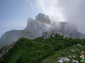
Trail Walking Le Reposoir - Les crêtes de Montarquis, 2150 m - Photo
Walking 8.432
Km

Walking

Medium
Le Reposoir, Auvergne-Rhône-Alpes, Upper Savoy, France
8.4 km | 17.3 km-effort
4h 30min
662 m
662 m
Yes
tracegps

Trail Walking Le Reposoir - La Pointe d'Almet, 2232 m - Le Reposoir - Photo
Walking 9.078
Km

Walking

Difficult
Le Reposoir, Auvergne-Rhône-Alpes, Upper Savoy, France
9.1 km | 18.1 km-effort
4h 30min
676 m
676 m
Yes
tracegps

Trail Walking Le Reposoir - La Pointe Blanche, 2438 m - Le Grand Bornand - Photo
Walking 5.741
Km

Walking

Very difficult
Le Reposoir, Auvergne-Rhône-Alpes, Upper Savoy, France
5.7 km | 16.2 km-effort
6h 0min
783 m
783 m
Yes
tracegps

20 trails displayed on 90

FREE GPS app for hiking

Logo SityTrail SityTrail

IGN / Geographical institutes

Download SityTrail from the App Store Download SityTrail from Google Play

Logo SityTrail SityTrail World

The world is yours!

Download SityTrail from the App Store Download SityTrail from Google Play Download SityTrail on Huawei AppGallery

Activities

Close
My subscriptions